Real published profiles, not a bought list. Open any one to see the certificates on file, their kit, service area and sample work — or invite them straight to your job.
I’m a commercial drone pilot providing aerial mapping, property line overlays, topographic mapping, construction site data, radiometric thermal inspections, 3D modeling, real estate listing photography and video, property marketing, and professional aerial imagery for businesses and landowners.
I've been a Part 107 drone pilot since 2019, working with Pacific Northwest clients on Real estate, construction progress, mapping, telecom inspections, architectural photography and events. I am very flexible and can provide deliverables within 24 - 48 hours. I take great pride in my work and having a photography business, my delivered photos are edited and culled to the best of the best. I worked for 30+ years as a commercial construction Superintendent, managing multi-million dollar construction projects and this experience allows me to be very safety oriented and knowledgeable on construction sites, providing the construction companies with usable deliverables that they can share with all stakeholders involved in their building project.
FAA Part 107 Certified Remote Pilot based in Southern California, specializing in construction documentation, infrastructure inspections, mapping, orthomosaics, and aerial imagery. With more than two decades of experience managing complex federal construction projects, I understand the importance of accuracy, safety, and delivering actionable data—not just photos.
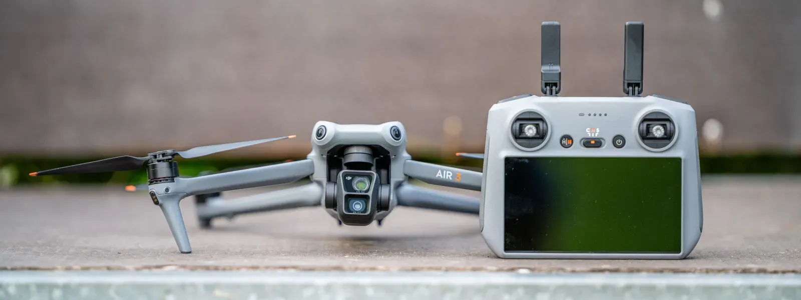
I operate professional DJI Enterprise aircraft, including the DJI Matrice 4E, DJI Matrice 4T, as well as the DJI Air 3S for high-resolution imaging and the DJI Neo 2 for specialized close-range operations. My services include construction progress documentation, roof and property inspections, land development, infrastructure photography, photogrammetry, mapping, and custom aerial imaging.
I also conduct search operations for lost pets using aerial search techniques and thermal imaging.
Every mission is conducted in compliance with FAA regulations, with careful mission planning, clear communication, and a commitment to delivering high-quality results on schedule. Whether you need a single inspection or recurring project documentation, my goal is to provide reliable aerial data you can confidently use to make decisions.
For ground work, I use a Cannon EOS R50 for photography and video.
Started flying drones for General Dynamics Robotics Systems in 2009 as the subject matter expert and lead test engineer for RCTA and a program called the Soldier Machine Interface. We developed leader/follower code for up-armored autonomous assets a full decade before Google fielded their driverless car "train" and a UI that let soldiers/marines plan missions on the ground and in the air. My job was to ensure the software worked, more importantly, met customer requirements. Working in the field afforded me a wealth of experience regarding process and implementation, but also how to think critically and resolve issues on the fly. If interested in learning more about my credentials, please see my website.
My current fleet is primarily DJI and Autel. I have RTK capability and a complete field kit to sustain remote operations for several days.
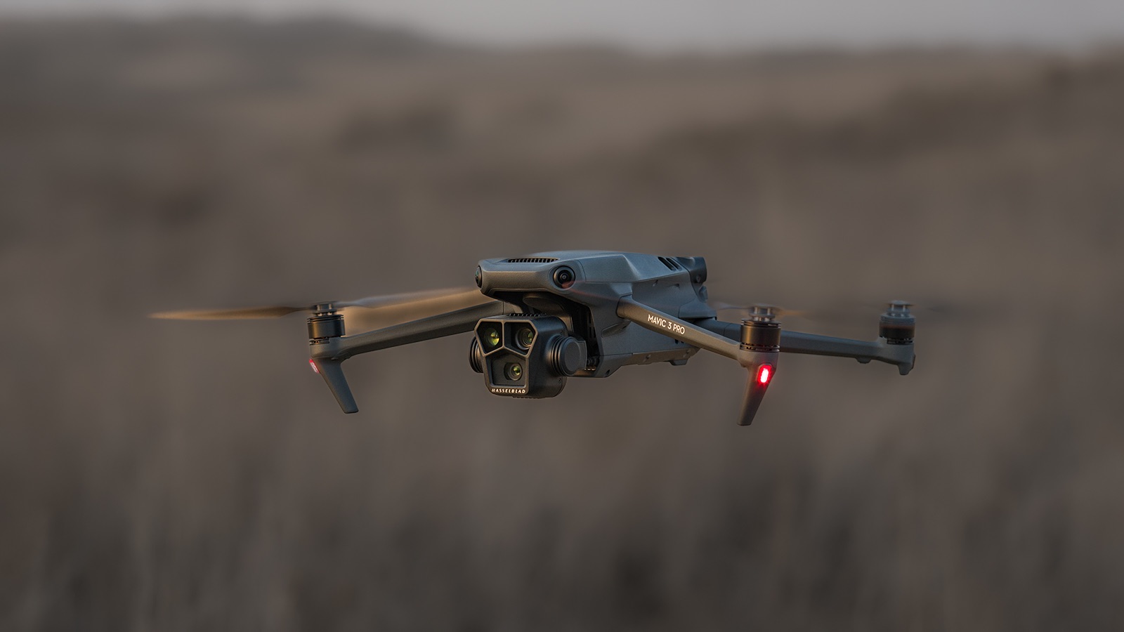
My main focus is mapping and critical infrastructure surveying. I fly both a mavic 3 enterprise ( mapping and videography) and a matrice 4T thermal drone. I'm always looking to meet new people to get jobs done. And to make sure that the customer/client that I am working with gets exactly what they are looking for. I'm pretty easy going and I do not mind the travel. I have over 7 years of experience with real-estate, power line, mapping and construction site surveying and much more.
I've been flying since 2015 and specialize in both cinematic filmmaking as well as surveying, construction, sensitive infrastructure capture, and music videos and events.
I am a professional photographer and commercial remote pilot (FAA Part 107) based in Kirkland, serving Western Washington and beyond (including most of Washington, and Oregon as needed).
By pairing my skills as a photographer with the unique data types and perspectives of aerial capture, I bridge the gap between technical data collection and polished visuals.
My flight experience centers on technical aerial data—including multi-site agricultural monitoring and extensive, high-resolution orthomosaic mapping—alongside clean, publication-grade commercial real estate and event media.
I’m Jeremy, a certified Part 107 aerial operator based in Spring, Texas. I specialize in delivering clear, accurate, and high‑quality aerial data for real estate, roof inspections, insurance claims, and property marketing. With a background in collections, accounting and operations, I bring a detail‑driven, business‑minded approach to every project. I have owned Aerial Depictions & Recordings for over 3 years now. I enjoy creating images and discovering views from an aerial perspective. To me, these are more than just images - they are Aerial Depictions. Capturing life's moments and movements you will never see from the ground.
FAA Part 107 commercial drone pilot specializing in RTK mapping, aerial photography, thermal imaging, property documentation, construction progress, and detailed site capture.
I operate professional DJI aircraft including the Matrice 4E and Matrice 4T, with RTK capability for repeatable, high-quality data collection.
I approach each assignment as a complete mission, from airspace and site planning through safe flight operations, field verification, data handling, and final delivery.
I serve clients throughout the California, Nevada, and Arizona tri-state region and am available for both individual assignments and multi-site projects.
I've been flying drones for 3years. I own a DJI air3s, avata2,neo. Skyrover x1 and s1. Potensic atom2.i can do Ariel photography, social
media, real estate
I have been an FAA Part 107-certified drone pilot since 2019, with experience capturing aerial photography and video for commercial and residential real estate, construction progress documentation, property inspections, and automotive projects. I regularly work from detailed shot lists, assess airspace and site conditions, and prioritize safe, compliant operations while delivering consistent, professional imagery. My experience includes working independently for my own clients as well as completing assignments for national drone and photography platforms.
My name is Samuel, and I’m an FAA Part 107-certified drone pilot based in the McKinney, Texas area, with more than 2 years of professional drone experience supporting wind turbine blade inspections.
I also bring 8 years of experience in the wind energy industry, including 6 years specializing in composite blade inspection and repair, crew leadership, safety oversight, and field operations.
My UAS experience includes conducting detailed external blade inspections using professional DJI platforms, as well as manual visual inspections. I understand the importance of capturing clear, consistent imagery while working safely and efficiently around large infrastructure.
I’m currently expanding my drone services into mapping, construction, roofing, solar, infrastructure, and property inspections. I’m dependable, safety-focused, detail-oriented, and comfortable working both independently and as part of a professional field team.
I’m looking forward to using my aviation and wind-industry experience to provide accurate, reliable drone data and inspection imagery for Skylog projects.
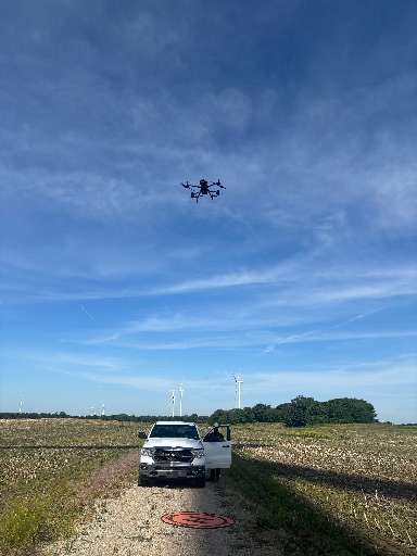
Hi, I'm Nicholas Keith Davis, though some people know me as PigMan. I'm 47 years old and proudly from Star, North Carolina.
I've been a drone pilot for over a year and enjoy using drone technology to capture unique perspectives while continuing to build my skills and knowledge. I'm always looking for opportunities to learn something new and improve my craft.
When I'm not flying my drone, you'll usually find me out on the water fishing or exploring new places. I enjoy the outdoors, technology, and the challenge of constantly learning and growing.
Whether I'm behind the controls of my drone or casting a line into the water, I believe every day is a chance to discover something new.
At Precision Aerial Solutions, we combine veteran discipline with cutting-edge drone tech to deliver elite aerial intelligence and cinematic media. Fully licensed and insured, we transform how you view, track, and showcase your assets from above.
I’m Isaiah, owner and lead pilot at Rose Peak Imaging, a drone and real estate media company serving South Jersey and the greater Philadelphia area. I’m FAA Part 107 certified with hands-on experience delivering high-quality aerial photography, video, and property inspections for real estate agents, commercial clients, and construction projects. I fly with professional-grade equipment, ensuring crisp, reliable results on every job — from single-family listings to large-scale property inspections. My goal is simple: give clients clean, dependable aerial and ground-level content that helps their properties stand out.
Popmix Media provides professional drone and ground photography, videography, and visual documentation services for businesses that need accurate, high quality imagery. From telecom infrastructure and commercial developments to construction projects, real estate, and advertising, we deliver the visuals that help companies inspect, market, document, and promote their assets.
Air 3S
Matrice 4E
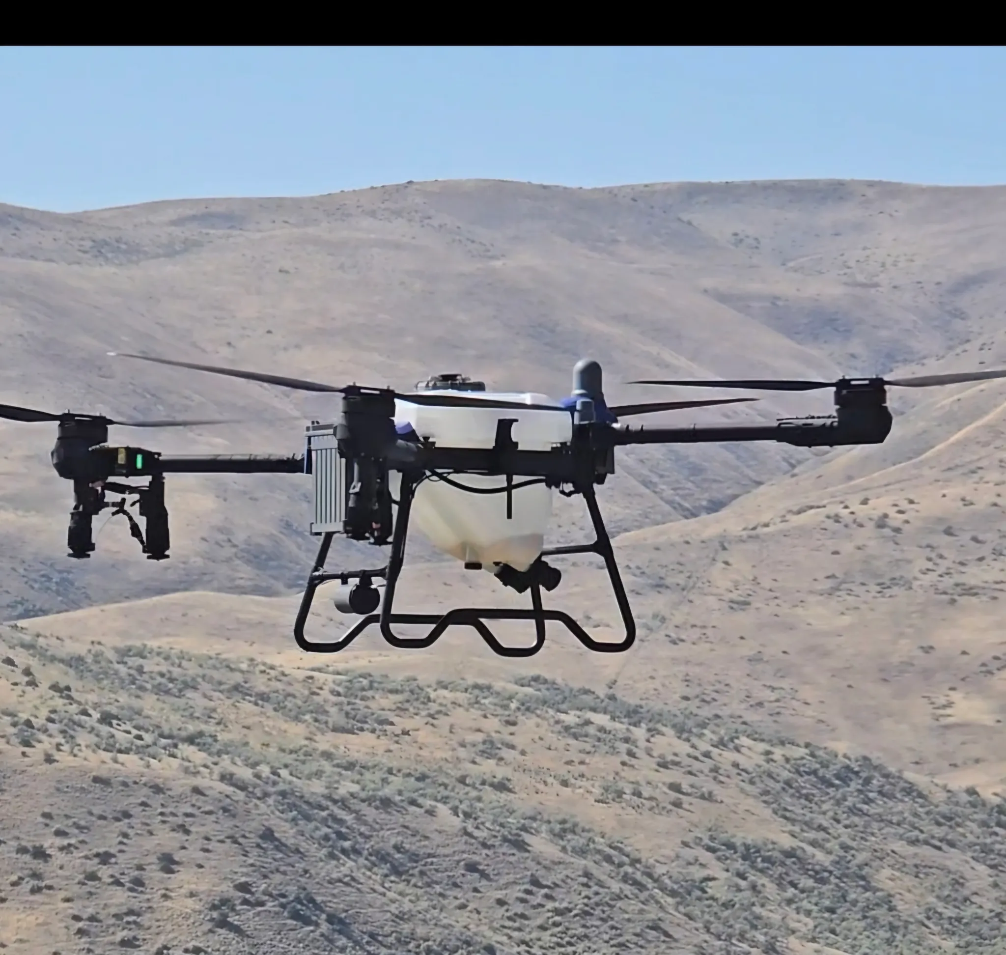
T50 Agras
FAA Part 107 certified remote pilot specializing in detailed aerial asset and roof inspections. Utilizing the DJI Air 3S, I leverage its dual-camera system (1" wide and 3x telephoto) to capture sub-inch structural details and defect data safely from a distance. Equipped with obstacle sensing and forward LiDAR, I deliver precise, professional, and repeatable aerial datasets for insurance, property management, and structural evaluations.
FAA Part 107 certified commercial drone pilot and owner of Keystone Aerial Precision LLC, serving Pennsylvania and surrounding areas. I specialize in aerial mapping, site documentation, inspections, construction progress, orthomosaics, 3D models, and high-resolution aerial imagery.
I fly professional mapping equipment with RTK capability and can handle both small properties and larger commercial sites. My focus is on collecting accurate, useful data and delivering clean results that clients can actually work with.
I’m experienced with mission planning, mapping workflows, photogrammetry, and post-processing, and I take safety, communication, and job requirements seriously. Whether you need a one-time inspection, recurring progress flights, mapping, or general aerial data collection, I’m available for dependable commercial drone work.
My name is Seth and I help people who are selling land get beautiful images of the property for their listings, and I help buyers save time and money by visiting the property for them and making thorough reports of the property and getting high quality pictures and video. This way they have all the information to make a decision with out having to make a dedicated trip.
I’m an FAA Part 107 Certified Commercial Drone Pilot and the owner of True North Aerial Imaging, serving Alexander, Iredell, Catawba, Davie, and Rowan counties. My work blends technical precision with a storyteller’s eye, delivering aerial and ground visuals that help clients see their projects, properties, and events from a higher perspective.
Over the years, I’ve flown in a wide range of environments — real estate, construction progress, community events, public‑works projects, and heritage sites. Whether navigating tight spaces, adjusting to fast-changing weather, or coordinating with on‑site teams, I bring a disciplined, checklist-driven workflow to every mission. Safety, clarity, and professionalism are non‑negotiable.
We are a multi drone company. Covering agricultural application, seeding ,fertalizing and mapping.
To industrial inspection, monitoring and filming.
Let us know what we can do to help today.
FAA Part 107 certified drone pilot providing professional aerial photography and videography throughout Central Florida. I specialize in real estate, commercial properties, vacant land, construction progress, inspections and custom aerial imaging.
Equipped with a DJI Air 3S and Sony a6100 for high-resolution aerial and ground photography. Services include aerial photos, 4K video, property overview shots, straight-down imagery, 360° orbits, flyovers and ground-level photography.
Professional communication, careful flight planning and dependable turnaround. Available for one-time assignments as well as recurring commercial projects.
Devon’s Droneography provides professional aerial photography, video, and visual documentation for real estate, construction, properties, events, and businesses throughout North & South Carolina!
I am a highly versatile, FAA Part 107 certified drone pilot specializing in enterprise-grade aerial data collection and high-impact cinematic production. Armed with a cutting-edge fleet, I deliver exceptional results across a dual spectrum of operations: high-precision technical mapping and dynamic, immersive aerial cinematography.From executing complex thermal inspections and orthomosaic mapping to capturing high-speed, close-quarters action tracking, I combine flawless flight precision with strict safety protocols. I turn complex aerial challenges into actionable data and breathtaking visual stories.
Professional drone services specializing in aerial photography, high-resolution mapping, thermal imaging, inspections, and search & rescue support. Turning advanced drone technology into detailed imagery and actionable data for your project.
Our drone services span aerial photography and videography, orthomosaic mapping, 3D modeling, and inspections — delivering everything from cinematic footage and centimeter-resolution maps to photorealistic digital models. Whether you need imagery that tells a story or data that drives decisions, we have the tools and expertise to get it done.
CreekBridge Media is fully Part 107 Licensed with the FAA for Commercial Drone Services and Insured for everybody's protection.
All flights are thoroughly researched and planned out in advance, and all flight data is logged and archived via AirData UAV.
CreekBridge media follows FAA 14 CFR Part 107 regulations for small Unmanned Aircraft Systems (sUAS) and reserves the right to deny services that are unsafe or in violation of Part 107 regulations. CreekBridge Media specializes in Real Estate, Roof Inspection, General Photography and Videography including editing.
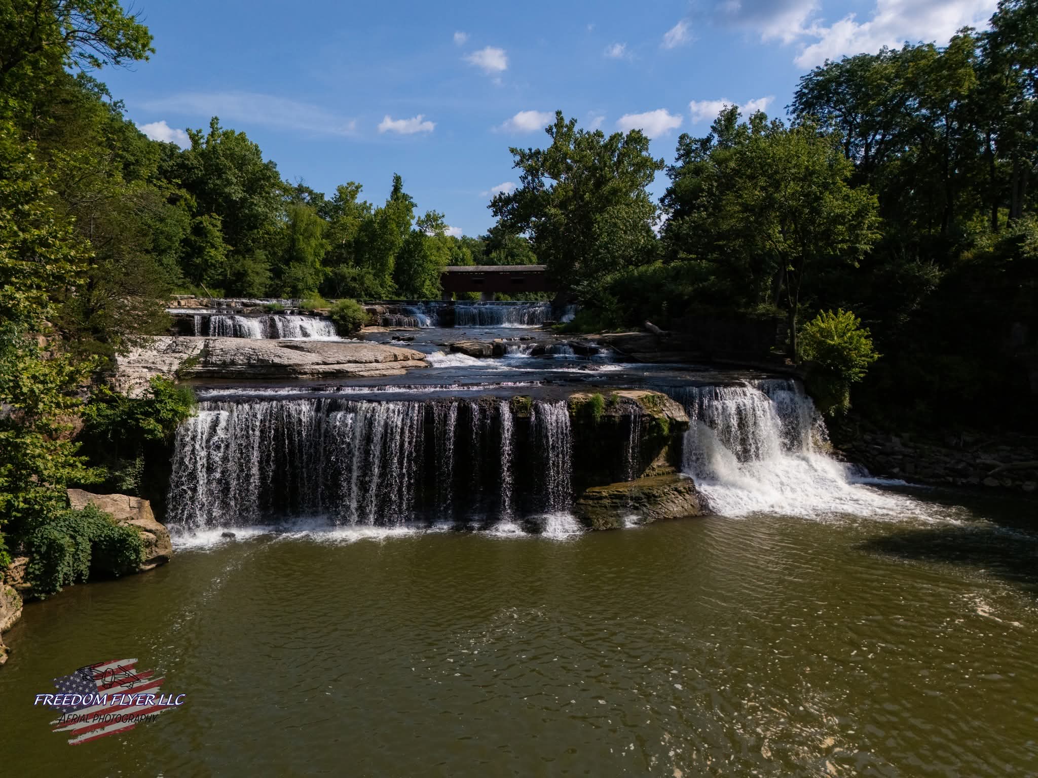
I am a Part 107 certified drone pilot. I have been flying drones professionally for two years and recreationally for another 3 years before that. Freedom Flyer LLC is a Christian, veteran owned company. My goal is to capture and create the highest quality aerial imagery for my customers.
FAA Part 107-certified drone pilot focusing in aerial photography and videography. I provide high-quality aerial imagery for businesses, real estate, outdoor projects, events, and personal use.
Services focus primarily on capturing professional photos and video from aerial perspectives. Upon request, I can also provide quick, basic edits to video footage for convenient sharing and immediate use.
Finished photos and videos can be delivered through AirDrop, Google Drive, text message, or another preferred method. I aim to provide reliable service, quality imagery, and a straightforward experience tailored to each project.
Feel free to ask me any questions I'd be happy to answer! Preferably via text message.
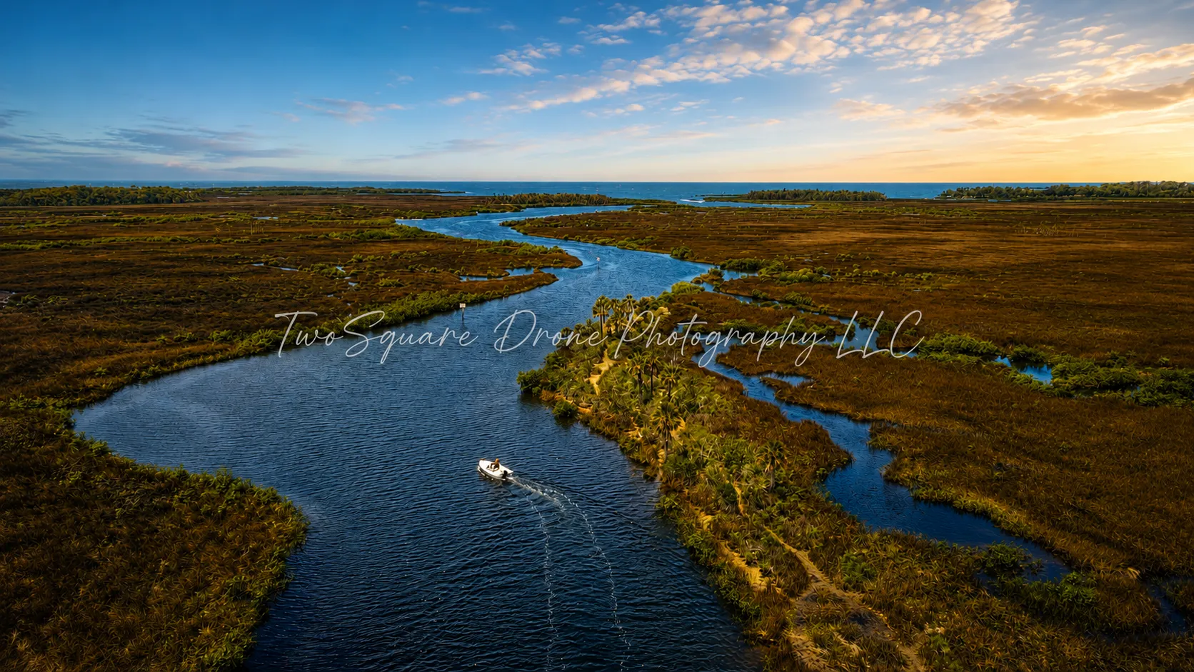
I’m Justin Carroll, the owner of TwoSquare Photography LLC. My background in the military and logistics has taught me the importance of discipline, reliability, attention to detail, and professionalism. I started TwoSquare as a side project that grew into a business built around something I genuinely enjoy—flying, photography, and seeing the world from a different perspective.
I’m an FAA Part 107 certified drone pilot and founder of Hawkeye Drone Visuals, serving the Kansas City metro. I specialize in professional aerial photography and video for residential real estate, land, commercial properties, and social media marketing. I prioritize safe flight planning, reliable communication, and polished visuals that showcase each property from its best perspective.
FAA Part 107 Remote Pilot based in Warrensburg / Kansas City. I fly a DJI Matrice 4T and DJI Air 3 for roof, siding, gutter, and solar inspections, hail and moisture documentation, and thermal search for deer and lost pets. Clients get labeled RGB and thermal stills, often the same day, plus a short findings note they can send to an adjuster, contractor, or landowner. Occupied-site work is normal. Licensed and insured. Master’s of Business Administration in Airport Management.
I’m Anthony Dueno, the owner and FAA Part 107 certified pilot behind Dueno Aerial Services. As a Western New York native and volunteer firefighter, I understand the importance of safety, reliability, and paying attention to the details. I started this business to provide practical aerial solutions, including photography and video, inspections, mapping, thermal imaging, construction documentation, and lost pet search support. My goal is simple: provide honest service, quality work, and useful results for every customer.
If you’re looking for a professional but also affordable drone service look no further. From Real estate, sports venues, weddings, and more I’ve been able to provide good quality services and have made all my clients feeling thrilled to see their vision come together.
+7 years drone pilot
+50 plus jobs completed
My specialties are weddings, event’s, real estate, construction, and film/ television production. Love doing music videos!!
I’m open for traveling as long as you’re open to pay for plane ticket and hotel pricing.
Will do fire work displays
FAA Part 107 certified and fully insured commercial drone pilot serving Central and Upstate New York. I specialize in aerial mapping, construction progress documentation, thermal inspections, site inspections, and high-resolution aerial data collection. I operate enterprise DJI aircraft with RTK capability and can provide raw geotagged imagery, orthomosaics, thermal imagery, site overview photos/video, and other project-specific deliverables. I have experience with recurring commercial projects and prioritize consistent capture methods, accurate data, safe operations, and reliable turnaround. Available for one-time missions as well as recurring 1099/contract work.
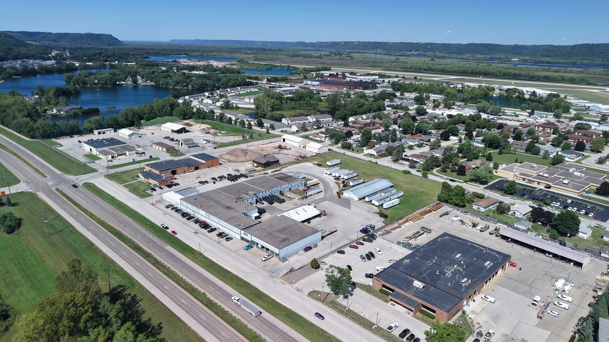
Founded by a US Army veteran and licensed FAA Part 107 pilot, Dustoff Drone Services provides actionable aerial intelligence for commercial developers, general contractors, and facility managers. We deliver sub-inch 2D georeferenced orthomosaics, repeatable milestone progress tracking, and inspection-grade optical telephoto captures.
You receive full-resolution datasets, GeoTIFFs, and marketing-ready media delivered via secure cloud link within 24 to 48 hours. Flown with strict site-safety discipline, active airspace clearance, and full commercial liability insurance.
From Hotels, to hectares of lands, businesses, billboards, Inspections and real estates. AirSpace Imagery is proven and will capture what you need. Please check out my portfolio for Samples. Let's reach the SKY!
Edward “Ed” Evanoff | FAA Part 107 Remote Pilot
I am a retired New York State Trooper with 23 years of service and the owner/operator of Sheepdog Aerial Solutions LLC. I bring a strong background in safety, field operations, logistics, and project coordination to commercial drone operations.
I am an FAA Part 107 certified remote pilot with UAS Thermography Level 1 and Level 2 training and OSHA 10 certification. My experience includes solar inspections and mapping, thermal imaging, real estate aerial photography, infrastructure inspections, and commercial mapping missions.
My equipment includes a DJI Matrice 4TD for thermal and inspection work, a DJI Mavic 3 Enterprise for mapping and photogrammetry, along with professional ground photography equipment.
As a retired Trooper, I have a flexible schedule and am comfortable traveling for projects throughout New York, Pennsylvania, and beyond. I take pride in being dependable, safety-focused, prepared, and easy to work with.
Core Capabilities: Solar & Thermal Inspections • Mapping & Photogrammetry • Infrastructure & Telecom Support • Aerial Photography • FAA/LAANC Operations • Commercial Drone Data Collection
Owner & Remote Pilot — Sheepdog Aerial Solutions LLC
Above the Horizon Media LLC is a fully insured, FAA Part 107 licensed drone company specializing in real estate media, mapping, orthomosaic imaging, construction progress, and aerial inspection services.
With a strong background in safety, operations, and attention to detail, we provide reliable drone solutions across Louisiana, Mississippi, Alabama, and Florida. Whether you need high-quality aerial photos, property mapping, or project documentation, Above the Horizon Media is ready to help you see the bigger picture from above.
Veteran, artist and woodworker, always eager to fly while the weather is nice or continue my creative crafts whenever time allows me. Currently located in Olympia, WA but open for travel within a reasonable distance in the Puget Sound or beyond.
Experienced highly in telecom inspections. Also conducts building inspections, roof inspections, pavement inspections, mapping, real estate photography, and 3D scanning. I have 2-Mavic 3 Enterprises, Matterport Pro 3, Insta360 X4, Gopro 360 MAX, Gopro Hero 10, DRTK-2 base station, a camper for long term site projects, an in vehicle/tent setup for short term projects, I also have a contractor that assists as a visual observer and ground work contractor.
🚁 Aerial Imaging & Drone Services in El Dorado County
Welcome! We provide professional drone-based aerial services throughout El Dorado County and the Placerville, California area, helping homeowners, property owners, businesses, and more see their properties from a whole new perspective.
Our services include:
🏡 Home & property imagery
🚁 Property fly-overs
🎥 High-resolution aerial video
📸 High-resolution still photography
🌄 A variety of custom aerial imaging services tailored to your needs
Whether you’re looking to showcase a home, document a property, capture stunning views, or simply get a unique perspective from above, we can help bring your vision to life.
Serving El Dorado County and Placerville, California.
📩 Contact us to discuss your project and see what we can capture from the air!
Hi! I’m Kellen, an FAA-certified drone pilot using a DJI Mini SE to capture high-quality aerial photos and videos. I offer drone photography for real estate, businesses, properties, and other projects. I focus on getting clear, professional shots that show your property from a unique perspective. I’m reliable, easy to work with, and excited to help bring your project to life.
I’m Cary, owner and operator of Lake County Aerial Solutions LLC. I’m an FAA Part 107-certified and fully insured drone pilot serving northern Illinois, southern Wisconsin, the Chicago area, and northwest Indiana. I provide aerial mapping and orthomosaics, roof and property inspections, construction-progress documentation, and real estate photography and video. Clients receive organized, high-quality digital deliverables tailored to their project, with clear communication and dependable turnaround. I use professional mapping tools, including WebODM and QGIS, to create useful planning-grade maps, terrain models, and property documentation.
Welcome to i-dronetech , the premier drone service provider for the DMV area. We've been in business for several years, delivering high-quality aerial footage and data to clients across various industries.
At i-dronetech, we're proud to have an extensive flight log with thousands of hours of experience. Our team is made up of FAA Part 107 licensed pilots who are passionate about drones and their potential to transform various fields. In addition to our skilled pilots, we also have a talented team of visual designers who are experts in drone photography and videography. They work closely with clients to understand their unique needs and create stunning visuals that capture the essence of their brand or project.
We believe that our success is built on the relationships we've formed with our clients. We strive to provide exceptional customer service and exceed expectations in everything we do. Our commitment to safety, quality, and professionalism is evident in every project we undertake.
Whether you're looking for aerial photography and videography, drone surveying, or inspection services, we're here to help. We're dedicated to providing the highest quality drone services possible. We understand that each project is unique, which is why we work closely with our clients to tailor our services to their specific needs.
Contact us today to learn more about how we can help you take your project to new heights.
Professional drone pilot focused on capturing high-quality aerial photography and video with a strong attention to detail, safety, and professionalism. I’m passionate about using drone technology to create compelling visuals and provide reliable aerial services for real estate, construction, inspections, marketing, events, and other commercial projects.
I’m dependable, adaptable, and committed to delivering clean, professional results while following all applicable aviation regulations and safety practices. Whether you need striking aerial footage or a reliable pilot for a specific project, I’m ready to take flight.
I am a certified drone operator, and if you need any aerial services, I would be delighted to provide a flyover of your hotel, Luxury apartments,resort,construction sites or home. I can capture stunning footage that you can use on your social media platforms or as a commercial on your website. Let me know how I can help showcase your space!
Above the Pines Drone Works is owned and operated by FAA Part 107 certified drone pilot Dana Michie. I specialize in high-quality aerial photography and cinematic video for real estate, construction progress, commercial properties, farms and ranches, community events, and newspaper media coverage. My equipment captures sharp, high-resolution images and smooth 4K video, delivering professional results for every project. With experience flying in a variety of environments, including FAA-authorized controlled airspace when required, I focus on safety, reliability, and producing aerial content that helps clients showcase their property, business, or event from a unique perspective.
I am a licensed Part 107 remote pilot since 2021 with a diverse background spanning 12 years as a fire medic and 15 years in land development and infrastructure. My education in building construction, inspection, NFPA codes, and OSHA standards complements my field experience. I have flown numerous complex missions for fire service operations and private clients.
Equipped with advanced gear including the DJI Matrice 4T—with powerful thermal imaging and 3D mapping capabilities—DJI Air 3, and Insta360 X5, I deliver high-quality aerial imaging, thermal inspections, and detailed 3D models. I am proficient with mapping and processing software such as DJI Terra and DroneDeploy, ensuring precise data capture and actionable results tailored to your project needs.
FAA Part 107 remote pilot based in Lebanon, Tennessee, with commercial aviation, flight-instructor, civil construction, surveying and GNSS experience. I provide RTK aerial mapping, construction progress documentation, 3D visualization and visual inspections. My field setup includes a DJI Matrice 4E, D-RTK 3, six batteries and a Ford Ranger with onboard power and charging. Software includes DJI Terra, Pilot 2, FlightHub 2, Modify, CloudCompare, SketchUp and Blender. Approximately 50–100 drone flight hours and 10–20 mapping missions. Available for multi-day projects and travel by agreement. Job-specific liability insurance can be arranged before work; no active policy is represented.
Hi I'm Dan, owner and pilot of Hawkeye 360 LLC, based in Marion and serving Linn County and Eastern Iowa. I specialize in aerial mapping, building inspections, and stockpile volumetrics, including large metal buildings and multi-building sites that are hard or unsafe to cover on foot. Mapping jobs deliver high-resolution orthomosaics and 3D models you can measure from, and every volumetric job is processed in two independent software platforms and cross-checked before delivery. FAA Part 107 certified and insured.
I’m a versatile freelance professional specializing in videography, drone filming, and video editing, dedicated to delivering high-quality work that brings ideas to life. Whether you need a clean, modern website, stunning aerial footage, or polished social media content, I combine creativity with technical skill to produce results that stand out.
We are experienced in the film, TV, sports, RE (commercial, residential, multi-family) industries. We can also handle inspections.
We provide hi-rez photos and 4K, 5K or 6K video.
We have safely flown almost 3,000,000 feet during hundreds of flights and missions.
We would be more than happy to help you on your project.
Please visit skywiredrones.com
Professional Aerial Photography & Video That Helps Builders, Developers, Realtors, Businesses & Organizations Showcase Their Properties, Projects, and Brands—Adding Value to Whatever They’re Trying to Promote.
See it differently. Promote it better.
I have been a professional pilot for over 5 years. I have experience in everything from residential, commercial, industrial, construction and photogrammetry. I have experience with RTK and Heavy lift vehicles as well.
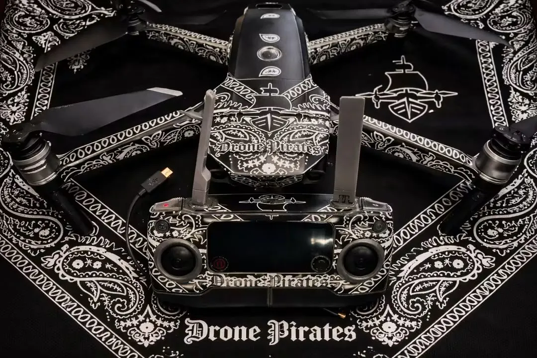
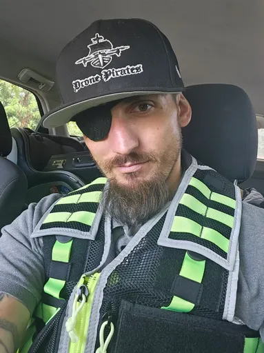
Drone Pirates LLC, a veteran-owned small business. We offer a dynamic range of drone services from Radiometric Thermal Analysis, SAR Operations, Wildlife Recovery/Census, Construction Monitoring, Photogrammetry, Thermal Roof/Infrastructure/Solar Grid/Power Line/ Bridge Inspections, Property Mapping, Aerial Photography, Videography, and even Asset Recovery.
As its Founder, I oversee operations and collaborate with FAA-licensed Part 107 pilots to deliver drone mission services for real estate, roofing inspections, event coverage, land surveillance, and solar companies.
My core competencies include drone piloting, providing drone deliverables, FAA certifications. With a focus on innovation and precision, I am committed to delivering high-quality results to clients while fostering partnerships with organizations like Vets to Drones and Dronegenuity.
Professional drone operator specializing in aerial mapping, inspections, and Aero-Scout services with some experience in photography and videography. I provide accurate, high-quality aerial data and imagery with a focus on safety, precision, and reliable results.
I’m Robbie Grupp, owner and FAA Part 107-certified drone pilot at ProGlide Aerials, LLC, based in Cumming, Georgia. With more than 10 years of commercial construction and project-management experience, I understand how to capture visuals that are both impressive and genuinely useful. I provide aerial photography and video, construction-progress documentation, 2D and 3D mapping, thermal imaging, inspections, FPV walkthroughs, virtual tours, and real-estate media. Using professional DJI equipment, I deliver safe, reliable, high-quality results with clear communication and dependable turnaround.
I have been conducting drone jobs for many years now. I started with real estate media in Maui, HI and continued to produce high-quality visuals for that market and beyond. I have also done pre-solar installation documentation of sites. My work as taken me to work on jobs with The Nature Conservancy and conduct wildlands fire documentation and ecological restoration documentary work.
I fly a Mavic 4 Pro with a concentration on Topography Modeling, Construction Progress Tracking, and Real Estate. I use a Sparkfun Facet with Ntrip for GCP coordinate correction for construction level accuracy.
Elevated Photography Service LLC provides professional drone services throughout Northwest Missouri. Our services include aerial photography and videography, thermal imaging, 2D & 3D mapping, agricultural drone spraying, thermal deer recovery, lost pet recovery, and wildlife surveys. Through NW Missouri Precision Spraying, NW Missouri Drone Deer Recovery, and NW Missouri Drone Pet Recovery, we use advanced drone technology to serve farmers, landowners, hunters, businesses, and pet owners across the region.
Above View Drones provides professional drone services for real estate, inspections, mapping, and cinematography. We help homeowners, businesses, property managers, and contractors capture detailed aerial visuals, inspect hard-to-reach areas, document properties, and create high-quality media from above. Whether you need sharp real estate footage, roof and property inspections, mapping support, or cinematic aerial content, we deliver reliable drone solutions with a professional eye and a focus on quality.
Licensed home inspector with experience in Drone videography and photography. An eye for detail and angles that provide easily recognizable locations to address documented issues, as well as site photography and videography shoots for listings and construction timelines. Experience in farm and livestock photos for social media.
I’m Chris Schroeder, an FAA Part 107–certified drone pilot based in Glen Burnie, serving the Baltimore area. My focus is aerial photography and video for properties, businesses, and local spaces.
I have also worked as a software engineer since 2012. Drone work brings together my interests in photography, flight, and technology. I fly DJI aircraft, including the Mavic 4 Pro and Air 3, and enjoy finding perspectives that tell a place’s story.
Have a property or project you’d like captured from the air? Let’s talk.
THERMAL IMAGING
Find what others can't see
ROOF INSPECTIONS
Identify issues, save money
AERIAL PHOTOGRAPHY & VIDEO
Stunning views, professional results
DEER RECOVERY
Aerial search assistance
PROPERTY & CONSTRUCTION
INSPECTIONS
Monitor. Document. Build with confidence.
BOAT PHOTOGRAPHY
Showcase your boat, your way.
specializing in rapid-turnaround aerial solutions with my high-performance RX drone system. With extensive experience in the field, I provide premium high-resolution aerial photography, 4K videography, and precise data mapping tailored for real estate, construction monitoring, and industrial inspections.My entire operation is optimized for speed, precision, and client satisfaction. I know that in fast-paced industries, delayed media means missed opportunities. That is why I guarantee a strict 72-hour turnaround time from the completion of the flight to the delivery of your fully edited, high-definition digital assets.Equipped with cutting-edge RX drone technology, I deliver stable, flawless visuals even in challenging environments, always maintaining the highest safety and regulatory standards. Whether you need striking promotional footage or critical site data, you can count on elite professional quality delivered exactly on schedule.
FAA Part 107 certified drone pilot with extensive flight experience operating DJI and FPV aircraft throughout New Jersey. Experienced in aerial photography, detailed property documentation, close-range visual capture, and safe operations in varied environments.
I operate a DJI Air 3S and maintain a strong focus on accurate, repeatable data capture and attention to detail. Available for property and roof inspections, construction progress documentation, insurance documentation, infrastructure imagery, and other aerial data-collection assignments.
Professional, reliable, safety-focused, and comfortable following client-specific shot lists, inspection workflows, and deliverable requirements.
FAA Part 107 certified commercial pilot based in Nashville, working with general contractors, roofers, developers, and real estate teams across Middle Tennessee.
I run Above Grade, a commercial drone operation focused on three things: monthly progress documentation for active job sites, roof and exterior condition documentation, and listing/marketing media for property.
Typical deliverables: color-graded stills, a short-form vertical cut for social, and full-resolution originals, turned around within 48 hours of the flight. For sites that need it, I can produce orbit-based 3D models and photorealistic scans for stakeholder walkthroughs and marketing.
I carry $1M liability coverage and can provide a COI before mobilizing. Comfortable with site safety briefings, controlled airspace authorization via LAANC, and coordinating flight windows around active crews.
Currently functioning a Potensic Atom Se due to a past failure in my original DJI. I’ve found way to get a similar effect with a lower end drone. Seeking a higher end upgrade soon after a full launch and comparison day of everything I’ve purchased recently so bare with me please Thank you for your interest and support
I’m George Euson, an FAA Part 107 pilot and owner of NorthSky Drone Solutions. My background in law enforcement and experience working with land and wildlife shape how I plan each flight and document what I find. I provide aerial photography and video, thermal imaging, property and land inspections, wildlife surveys, and animal recovery where permitted. Depending on the job, clients receive clear photos, video, thermal images, and a straightforward summary of observations. I’ll discuss the scope and deliverables with you before the flight.
Need more than aerial photos? I turn drone imagery into useful information about your property, project, or inventory.
My services include roof and property inspections, orthophotography, 3D models, site measurements, progress documentation, and aerial inventory counts. You get organized visuals and deliverables that help your team assess conditions, verify quantities, track changes, and plan the next step.
I also bring experience as a property claims adjuster. That means I know how to capture the overview and the details someone reviewing a roof or building will need: slopes, elevations, materials, and areas of concern.
FAA 107 certified and insured.
Photos, videos, construction monitoring, legal reconnaissance, and other aerial-based needs I can serve. Now performing cinematic FPV flying for even more spectacular visuals.
I am not only a Part 107 pilot, I am an FAA Airframe & Powerplant technician, and hold several FCC licenses. If you have a simple aerial need, or need a customized solution, I'd be delighted to help you.
I am an FAA Part 107 certified drone pilot and owner of Flyby Elevations. I have hands-on experience with aerial photography and videography and am continuing to build my professional portfolio. My focus is on real estate, roofing, construction, inspections, and promotional content. I take safety, professionalism, and FAA compliance seriously while continuing to expand my experience in the commercial drone industry.
Professional drone services serving Southeast Missouri, Southern Illinois, Western Kentucky, Western Tennessee, and Northeast Arkansas. Specializing in agricultural spraying & seeding, thermal aerial imagery, inspections, mapping, real estate, drone power/soft washing, and wildlife recovery.
I am experienced in various construction aspects to include safety, environmental, and progress monitoring. I have also done some agriculture monitoring of crops as well as livestock location and monitoring.
I am an FAA Part 107 Certified Drone Pilot with nearly two years of experience providing aerial photography and videography for residential, commercial, and industrial clients. I specialize in construction progress documentation, real estate media, roof inspections, aerial mapping, and promotional content.
Equipment:
SkyRover X1 for aerial photography, cinematic video, and commercial drone operations.
DJI Avata 2 for immersive FPV footage and dynamic cinematic shots.
Canon EOS Rebel T7 DSLR for professional ground photography and detailed interior and exterior images.
Services Include:
Construction Progress Documentation
Real Estate Photography & Video
Roof Inspections
Commercial Property Photography
Aerial Mapping & Site Documentation
Marketing & Promotional Content
I focus on safety, professionalism, and quick turnaround times to deliver sharp, high-resolution visuals that help clients market properties, monitor projects, and inspect assets
AeroPoint Intelligence provides professional drone services throughout the Dallas–Fort Worth Metroplex, specializing in infrastructure inspections, construction documentation, orthomosaic mapping, and aerial intelligence.
As an FAA Part 107 Certified and insured commercial drone pilot, I deliver high-resolution imagery and actionable data for telecom, commercial, construction, and real estate clients.
Services include telecom tower inspections, construction progress documentation, orthomosaic mapping, 3D site models, roof and infrastructure inspections, aerial photography, and marketing content.
Equipment includes the DJI Matrice 4 Enterprise and DJI Air 3S, allowing for both precision inspection work and high-quality cinematic deliverables.
Based in North Texas and available for projects throughout Texas.
Part 107 certified drone pilot and operator, with approximately 1000 flights completed safely. Hands-on and strategic, with proven ability to streamline production, enhance safety, and drive continuous improvement with natural leadership qualities. Lead a workshop teaching several individuals on how to achieve part 107 certification. Excellent at optimizing workflow, organizing personnel and equipment to ensure the plan is executed and the task is completed with accuracy and efficiency. Has an immaculate sense of time and is always punctual, maximizes the use of all work hours in a day for peak proficiency.
Drone Pilot | Real Estate Photography | Inspections | Film & TV | Sports Photography
As an FAA-certified drone pilot and professional photographer, I provide high-quality aerial and ground photography for real estate, inspections, film & television, sports, and commercial projects.
I bring six years of experience in the real estate industry with Keller Williams, giving me firsthand insight into the fast-paced world of real estate and an understanding of what agents, brokers, and clients need when marketing a property. During that time, I maintained a real estate license as required for my position.
I'm also an Air Force veteran, bringing the same attention to detail, professionalism, safety, and commitment to the job that defined my military service. Whether I'm capturing a property from above, documenting an inspection, supporting a production, or photographing the action on the field, I approach every project with precision and purpose.
I combine aerial perspective with traditional photography to create compelling images and video that help properties stand out, provide valuable visual documentation, and bring a unique perspective to commercial, production, and sports projects.
Services include: • Real estate aerial & ground photography
• Property & construction inspections
• Commercial & promotional imagery
• Film & television aerial support
• Sports & event photography
• Drone photo & video
Based in the Kansas City area and available for projects throughout the region.
Professional. Reliable. Detail-driven. From the ground to the sky
Specializing in 3D reconstruction modeling, construction & land development, insurance, and surveying applications. Expert in orthomosaic photogrammetry, aerial inspections, and translating field data into actionable business intelligence.
I have worked with drones for over 10 years. I have done work for Metric Engineering and CEI for a Central Florida Expressway Authority’s floating solar panels along their roadways.
Axis Fields is a veteran-owned spatial intelligence firm in the Phoenix metro. We fly, process, and deliver aerial data built to enterprise GIS standards — orthomosaics, point clouds, and survey deliverables that load straight into the systems agencies and engineering firms already run.
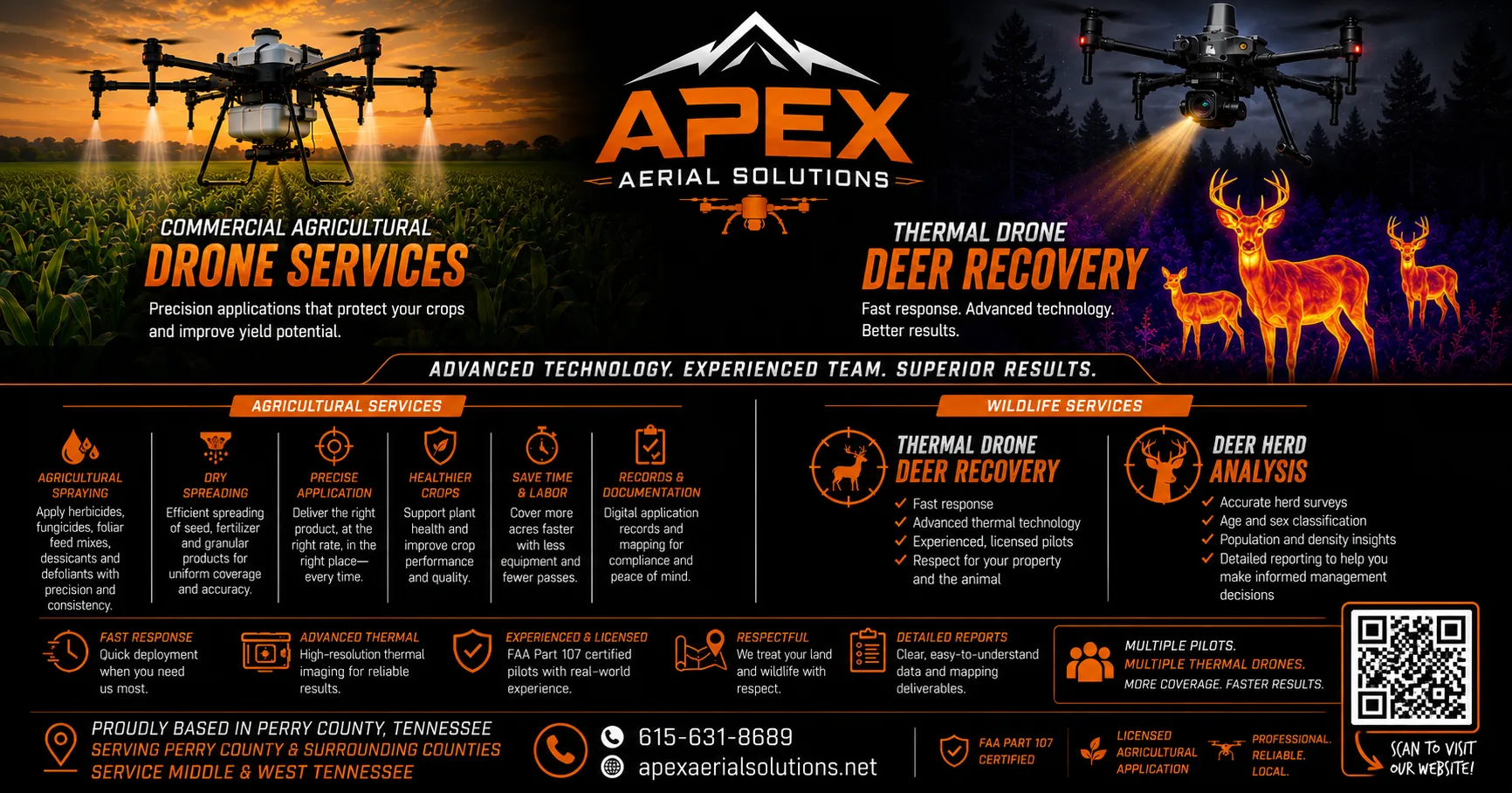
Apex Aerial Solutions is based in Perry county Tennessee specializing in 2d and 3d mapping, wounded deer recovery and deer herd analysis and agricultural spraying and dry spreading.
Watson Skyview LLC provides professional drone photography and videography throughout Tampa Bay. As an FAA Part 107-certified pilot, I create high-quality aerial content for real estate, businesses, events, and social media.
I am an FAA Part 107 licensed drone pilot specializing in precision agriculture, advanced aerial mapping (including photogrammetry and LiDAR), construction monitoring, and industrial inspections. As the owner of Rooted in Soil Consulting LLC, I merge deep ag-tech expertise with high-resolution aerial data—utilizing state-of-the-art drone platforms, LiDAR sensors, and multispectral imaging (including NDVI and NDRE analysis)—to deliver highly accurate crop scouting, orthomosaic mapping, and site progression reports. Committed to safe, compliance-first flight operations, I provide actionable, reliable insights designed to help farmers, project managers, and property owners optimize their operations and make informed, data-driven decisions
Photography and videos of homes, businesses, in both urban and rural to remote settings. I have a variety of drones to use depending on the specific needs of the project.
I fly a DJI Mini 4 Pro and have a membership with Drone University with several certifications for construction mapping, real estate videography. I live in The San Tan Valley. I am also a Mechanical Engineer.
Very dependable professional hard working individual
- Effective Communication Skills HSV101 - Introduction to Human Serviceshttps://lite.tiktok.com/t/ZT9BYhDM2rueu-N3WdB/https://venmo.com/code?user_id=4007214385727269262&created=1787625134upgrade to high-gain directional antennas transmission system
I provide reliable, high‑quality aerial imaging for real estate, building inspections, and small business projects in and around Boston. As a certified drone operator, I focus on clear communication, safe flight practices, and delivering crisp, useful visuals that help clients see their properties from a new perspective.
I deliver premium edited photos and cinematic videos of real estate with delivery within two days and an option for expedited delivery within one day. I offer up to 4K 60 video and high dynamic range photos. Using a DJI Air 3S and advanced editing software.
(Minimum 2 hours booking per site invocation to cover travel and flight prep)
Skyline Aerial provides professional drone photography for residential and commercial real estate. We capture high-quality aerial images that showcase properties, land, exterior features, and surrounding areas from compelling angles. FAA Part 107 certified, with professional editing, reliable communication, and fast turnaround.
bring years of hands-on construction, maintenance, and fleet inspection experience into commercial drone work. As the owner of Behrmann Aerial, I specialize in accurate aerial mapping, surveying, and photogrammetry using a DJI Matrice 4E with RTK for centimeter-level precision.
I deliver clean, usable data — orthomosaics, point clouds, 3D models, and progress documentation — processed through DJI Terra and managed with Flight Hub. Clients get reliable results they can actually use for planning, measurement, and decision-making, not just pretty pictures.
I’m new to full-time drone services but not new to job sites, safety standards, or getting details right the first time. Open to standard mapping jobs as well as unique or specialized requests. Clear communication, on-time delivery, and professional data are my priorities.
Hello! My name is Clay Capps am a drone operator located in Marshall, North Carolina. I have been working full time in my small business, Sandy Bottom Aerial, for the last four years.
My Name is Andrew, I'm 22 years old and I have hundreds of hours in the aviation industry. My attention to detail is very important to meet my employers satisfaction. I take pride in my work and I love doing what I do. I use my 4k HD camera drone to capture amazing video and pictures and use editing software to perfect color grading and cinematic after effects when needed. I'm local to the charlotte metro area and have spent 20 years living here.
I'm a Part 107 certified commercial pilot with 5 to 6 years of experience providing aerial insights and support. My expertise spans real estate, construction, roofing inspections, and event coverage, delivering high-quality aerial photography and data to help clients make informed decisions and showcase their projects from above.
I'm a published photographer and videographer and have been flying drones professionally since 2017. I'm working on getting my private pilot license as well. I would love to acquire any aerial shots that are required for the project you are working on. Whether it be for real estate, construction, TV or Movie cinematic, weddings, etc. I believe I can accomplish the vision you need. I work fine alone as I have an eye myself, or I can also take direction if you have a specific shot you need.
Abel Drone Services is Veteran owned and operated … specialize in high‐quality aerial photography and videography, detailed area mapping surveying and inspections.
Part 107-certified drone pilot based in Knoxville, TN, flying a DJI Mavic 3S. I bring a cinematic, story-driven approach to aerial work, shaped by my background as a Digital Content Strategist and Creative Producer for the University of Tennessee System, where I produce institutional video, event coverage, and brand content across multiple campuses. My freelance studio, Charles Made It, extends that same production-quality standard to real estate, weddings, events, inspections, mapping, construction, agriculture, and film/TV projects. I move fast, communicate clearly, and deliver footage that's ready to use — not just raw files.
I’m an IT professional specializing in physical security, with extensive experience using drones to support security planning, site documentation, and event operations.
Most of my drone work has involved mapping cameras and access control for new construction and physical security projects, as well as documenting events such as the Grand Haven Musical Fountain, fireworks displays, and large gatherings along the Grand Haven channel. I’ve also provided aerial photography and video for boat and vehicle sales, real estate, and other projects.
I’ve been flying drones since 2021 and have accumulated hundreds of flight hours. Flying is something I genuinely enjoy. I’ve even been known to spend my lunch breaks out flying simply because I love it. I bring that same enthusiasm and attention to detail to every flight and project.
Experienced FAA Part 107-certified drone pilot with hands-on experience operating commercial and enterprise-grade UAS for mapping, surveying, real estate, construction, inspections, and aerial imagery. Skilled in flight planning, airspace awareness, site assessment, and capturing accurate, high-quality aerial data. Experienced with RTK-enabled drone operations, photogrammetry, property documentation, and detailed visual inspections. Proficient with platforms and software used for mapping and flight planning, including DroneDeploy and Pix4D. Able to safely execute missions, capture consistent imagery, and deliver professional results for clients across a variety of project types and environments.
Our team of FAA-certified pilots is committed to delivering innovative and reliable aerial and ground-based solutions for a wide range of industries and events
I'm Aprell I've I have flown over 20 missions and all over Indiana and nearby states. I have an Dji Mavic 4 pro and specialize in commercial, real estate, and construction.
With over three years of recreational drone flying experience, I am expanding into professional drone services with a focus on safe, reliable, and high-quality aerial solutions. I am passionate about capturing unique perspectives and helping clients with real estate, inspections, construction progress, events, and other small aerial projects. My goal is to provide professional service, attention to detail, and exceptional results on every flight.
I have been flying drones since the first came in the market with the ARDrone. I have watched the market evolve since then. I have experience in 3D mapping with a MatterPort 3D machine and using camera to recreate 3D models. I currently have a Autel Evo2 V3.
FAA Part 107 Certified Drone Pilot providing reliable, high-quality aerial imaging and data solutions across a range of industries. Experienced in supporting Real Estate, Surveying, Construction, Inspections, and Film/TV with professional aerial photography, video, documentation, and site visibility. Safety, precision, and attention to detail are at the core of every project. Whether showcasing a property, documenting construction progress, capturing cinematic footage, or providing valuable aerial perspectives for inspections and surveying, I deliver dependable results tailored to each client’s needs.
FAA Part 107 remote pilot providing professional RGB and thermal inspections, aerial mapping, construction progress documentation, and infrastructure data capture. I have commercial UAS experience plus 2 years of military UAS experience in aerial reconnaissance and search operations. Based in Las Vegas and equipped for enterprise inspection work with a DJI Matrice 4T. Available throughout the Southwest, with nationwide travel available for larger wind, solar/PV, utility, construction, and infrastructure projects
Central Illinois drone operator flying enterprise DJI hardware — Matrice 4E for high-res mapping and Matrice 4T for thermal and zoom inspection, both RTK-equipped for survey-grade accuracy.
Services: aerial mapping and photogrammetry, orthomosaics and 3D models, volumetrics, ag mapping and stand counts, construction progress and site surveys, thermal inspection (roofs, solar, building envelope, utilities), and zoom inspection for structures and infrastructure. Also aerial photo/video and night ops.
Army-trained UAS operator (15W), FAA Part 107 certified — clean logs, on-spec deliverables. Based in Greenview, serving central Illinois and beyond. Have a job that fits Part 107? Ask.
I'm an FAA Part 107 certified drone pilot and owner of Roost Aerial Solutions LLC, serving Orlando and Central Florida.
Using a DJI Matrice 4E, I provide high-resolution aerial photography, orthomosaic mapping, 3D photogrammetry, visual property inspections, and construction progress documentation.
My services support residential and commercial properties, agricultural operations, construction sites, and property assessments. Deliverables can include georeferenced orthomosaics, detailed aerial photographs, 3D models, and organized project documentation tailored to client requirements.
I focus on thorough flight planning, clear communication, and delivering useful, professional results.
I am a licensed and insured drone pilot that uses Blue UAS drones to ensure compatibility with any project. I have Mapping and Thermal capabilities and will work with client to deliver the exact product they are looking for.
I own a WISPR SkyScout 2+ and a DJI Air 3S (used for video/photo jobs that do not require a Blue UAS drone).
If LIDAR is required, I need more of a notice to complete the job, and setting it up with the client, but this service is available as well.
I have 30+ year law enforcement/SWAT background, and also provide overwatch and threat assessments to businesses and events.
If necessary, I also provide inside images using a Insta360 camera (photo/video).
I am looking to establish a sound working relationship with my clients and to provide them with the exact deliverables that they are in need of. My business is relatively new (January 2026). I have completed the BPERP Safety Assessment by NIST, have a Level I Thermography Certificate, AUVSI Level 1,2,&3 Safety certifications and my OSHA 30 card. I have also completed the Clemsion UAS program in 2026.
FAA Part 107 licensed and insured drone pilot. Licensed property insurance claims adjuster. Full time travel and mobile. Able to stay on location for long durations.
Also covered by one or two pilots, too few for their own page yet — a job posted there still reaches all 225: Connecticut · Iowa · Kansas · Louisiana · Massachusetts · Minnesota · Nevada · South Dakota · West Virginia · Hawaii · New Hampshire · New Mexico · Rhode Island · Utah · Wyoming
Rates
What drone pilots charge
Hiring a commercial drone pilot in the US means hiring someone with an FAA Part 107 certificate. Most work is priced by the half or full day. Pilots publishing rates on SkyLog sit between $200 and $1,400 a day, with a median of $600. Posting a brief is free, there is no commission, and you pay the pilot directly.
Typical day rate
$200–$1,400
Median day rate
$600
Typical hourly
$45–$200
Licence required
FAA Part 107
Type of work
Typical day rate
Median
Typical hourly
Pilots
Mapping & survey
$300 – $1,250
$650
$45 – $200
61
Wedding
$250 – $1,400
$650
$45 – $200
41
Real estate
$200 – $1,300
$600
$45 – $200
94
Inspection
$200 – $1,400
$600
$45 – $200
89
Construction
$250 – $1,300
$600
$50 – $200
91
Events
$200 – $1,400
$600
$45 – $200
67
Film & TV
$200 – $1,400
$600
$32 – $250
45
Agriculture
$300 – $1,250
$600
$45 – $200
32
10th to 90th percentile of the day and hourly rates published by SkyLog pilots offering each service, as at Oct 12, 2026. Categories with fewer than 3 published rates are left out rather than guessed. A pilot’s price for your job may sit outside this band.
Most commercial drone work in the US is priced by the half or full day. Pilots publishing rates on SkyLog sit between $200 and $1,400 a day, with a median of $600. Real estate shoots sit at the lower end; mapping, survey and film work run highest. Hourly rates are typically $45 to $200. Posting a job is free and SkyLog takes no commission.
Are the pilots on SkyLog vetted?
No — and it is better to say so. SkyLog publishes what pilots put on their own profile: certificates on file, service area, equipment, rates and sample work. Checking it is your call; ask any pilot for their Part 107 certificate number and insurance. Ratings come only from clients who actually hired through the platform.
There are no pilots listed in my state. Now what?
Post the job anyway. A post goes on the public board that all 225 pilots can see, not only the ones with a nearby service area, and many travel for the right work. A state only gets its own page here once at least three pilots list coverage there, so an absent state means no page yet, not no pilots.
Can I invite a specific drone pilot?
Yes. Every pilot card and profile has an invite button: describe the job on their profile and that pilot is asked to send you a price directly, as well as any other pilot the job matches. No account is needed to send it, and you are not obliged to hire them.
Still not sure who to call?
Describe the job once and let the pilots come to you. One brief reaches all 225 — including the ones whose profile you would never have found by browsing.