
For contractors, developers & PMs
Construction Drone Services
Free to post · Usually a reply the same day
176 construction pilots listed · Pay the pilot directly, no commission
Free to post
Two minutes, no card, no commitment.
Pay the pilot directly
No commission or markup on their price.
FAA Part 107 pilots
The license all paid drone work requires.
Usually a reply the same day
From a pilot, or from our team if no pilot has answered.

How it works
Three steps, and the first one is free
Describe the job
The questions adapt to the work: area for a mapping job, access and asset for an inspection.
A pilot near you sends a price
Pilots whose service area and services match are emailed. Usually a reply the same day, from a pilot or from our team.
Book them and pay them directly
Check their certificate, kit and sample work, then pay the pilot. SkyLog takes no cut and adds no markup.
What to know before you book
Recurring flights beat one-off visits
A single set of aerials is a marketing asset. A monthly set flown to the same plan is a project record, and it is worth much more for only a little more money — the pilot's travel and setup are already paid for, so the marginal cost of the next visit is low. If you want a series, say so when you post and ask for the run to be priced as a package. Agree the flight plan and the altitude on the first visit so every later set is comparable, and agree where the files live: a series is only useful if the project team can find month four when they are arguing about month two.
What accuracy actually means here
Photogrammetry from a standard drone gives good relative accuracy and vaguer absolute accuracy — measurements within the model line up with each other better than they line up with the real-world coordinate system. Adding surveyed ground control points, or flying an aircraft with RTK positioning, is what brings absolute accuracy into survey territory, and both add cost. If a number is going into a payment application or a dispute, say so up front and ask the pilot to state the achievable tolerance and their method in the quote rather than assuming it.
Working around a live site
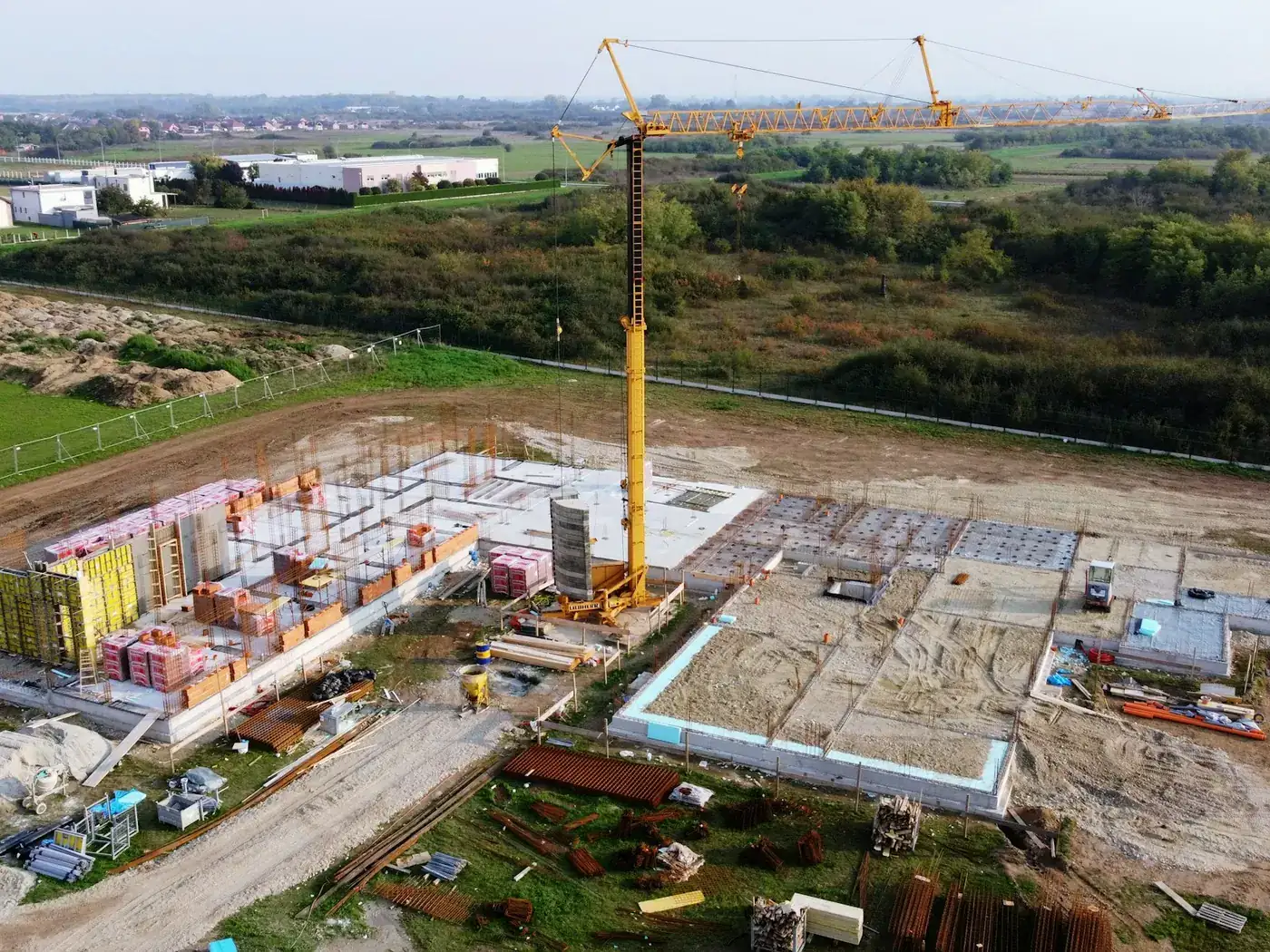
The flying is the easy part; the site is not. Expect to sort out induction, PPE, a launch and recovery area clear of the crane's slew, timing that avoids lifts and concrete pours, and notification to anyone whose airspace overlaps yours. If the site sits under controlled airspace, an FAA authorisation is needed before flight and that has a lead time. Give the pilot the site address and the constraints when you post and these turn into scheduling notes rather than surprises on the day.
What a programme delivers
- A monthly set flown to the same plan — a project record rather than a marketing asset, for only a little more money.
- Good relative accuracy from standard photogrammetry, adequate for progress and volumes.
- Absolute accuracy in survey territory once ground control or an RTK aircraft is added.
- A fixed flight plan and altitude from the first visit, so every later set is comparable.
What costs more than people expect
- Put a number into a payment application safely without a stated tolerance and method. Say so up front and ask for both in the quote.
- Skip site logistics: induction, PPE, a launch area clear of the crane's slew, and timing around lifts and pours.
- Fly under controlled airspace without an FAA authorisation, which has a lead time.
- Be useful if nobody can find month four when they are arguing about month two. Agree where the files live.
The pilot's travel and setup are already paid for, so the marginal cost of the next visit is low. Ask for the run to be priced as a package.
Why post it on SkyLog
Progress documentation
The same flight path flown every month produces a comparable series rather than a pile of photos. That series is what settles a delay argument, backs a payment application, or shows a lender where the money went.
Volumes and quantities
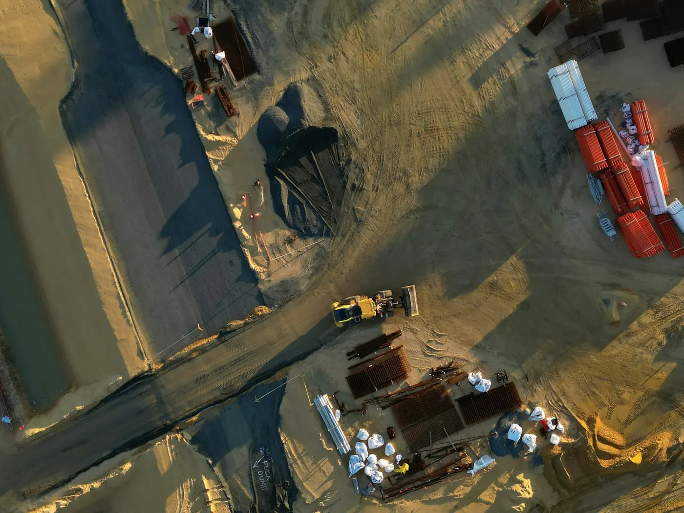
Photogrammetry measures stockpiles and cut and fill without anyone climbing them. Accuracy depends on ground control and flight planning, so ask what tolerance a pilot will commit to before you rely on the number commercially.
Site-wide orthomosaics
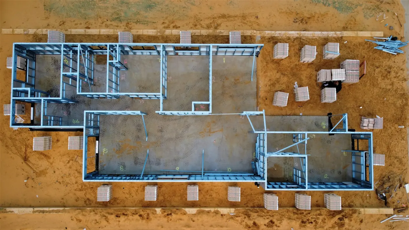
A stitched, scaled overhead of the whole site that drops into your design software and lines up with the drawings — useful for coordination, logistics planning and as-built comparison.
Free to post
Posting and receiving quotes costs nothing, and SkyLog takes no commission and adds no markup. You pay the pilot you hire, at the price the two of you agree.
Construction pilots with published profiles
Real published profiles. Open any one to see credentials, kit, service area and sample work before you post.
 chris aldridge
Texas, United States
20 work samples
I’m a commercial drone pilot providing aerial mapping, property line overlays, topographic mapping, construction site data, radiometric thermal inspections, 3D modeling, real estate listing photography and video, property marketing, and professional aerial imagery for businesses and landowners.
Real estateWeddingEventInspectionMapping / surveyFilm / TVConstructionOther- George Benes

Oregon, United States
13 work samples
I've been a Part 107 drone pilot since 2019, working with Pacific Northwest clients on Real estate, construction progress, mapping, telecom inspections, architectural photography and events. I am very flexible and can provide deliverables within 24 - 48 hours. I take great pride in my work and having a photography business, my delivered photos are edited and culled to the best of the best. I worked for 30+ years as a commercial construction Superintendent, managing multi-million dollar construction projects and this experience allows me to be very safety oriented and knowledgeable on construction sites, providing the construction companies with usable deliverables that they can share with all stakeholders involved in their building project.
Real estateEventInspectionMapping / surveyConstruction 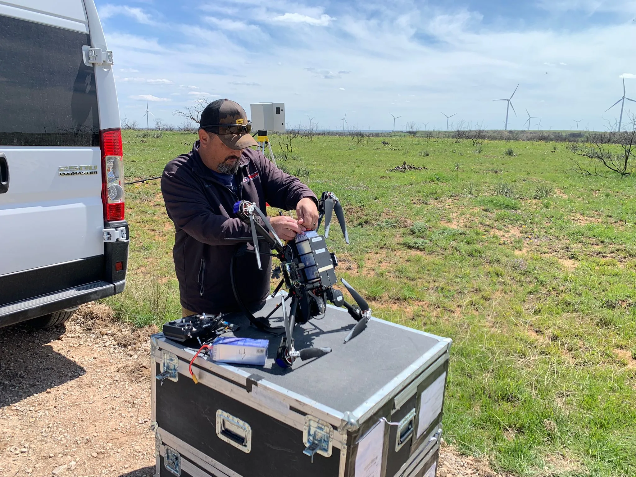 Clifford Cox
Texas, United States
12 work samples
My main focus is mapping and critical infrastructure surveying. I fly both a mavic 3 enterprise ( mapping and videography) and a matrice 4T thermal drone. I'm always looking to meet new people to get jobs done. And to make sure that the customer/client that I am working with gets exactly what they are looking for. I'm pretty easy going and I do not mind the travel. I have over 7 years of experience with real-estate, power line, mapping and construction site surveying and much more.
Real estateInspectionMapping / surveyConstruction Andy Jones
California, United States
12 work samples
FAA Part 107 Certified Remote Pilot based in Southern California, specializing in construction documentation, infrastructure inspections, mapping, orthomosaics, and aerial imagery. With more than two decades of experience managing complex federal construction projects, I understand the importance of accuracy, safety, and delivering actionable data—not just photos. I operate professional DJI Enterprise aircraft, including the DJI Matrice 4E, DJI Matrice 4T, as well as the DJI Air 3S for high-resolution imaging and the DJI Neo 2 for specialized close-range operations. My services include construction progress documentation, roof and property inspections, land development, infrastructure photography, photogrammetry, mapping, and custom aerial imaging. I also conduct search operations for lost pets using aerial search techniques and thermal imaging. Every mission is conducted in compliance with FAA regulations, with careful mission planning, clear communication, and a commitment to delivering high-quality results on schedule. Whether you need a single inspection or recurring project documentation, my goal is to provide reliable aerial data you can confidently use to make decisions. For ground work, I use a Cannon EOS R50 for photography and video.
Real estateEventInspectionMapping / surveyConstructionAgricultureOtherFilm / TVWedding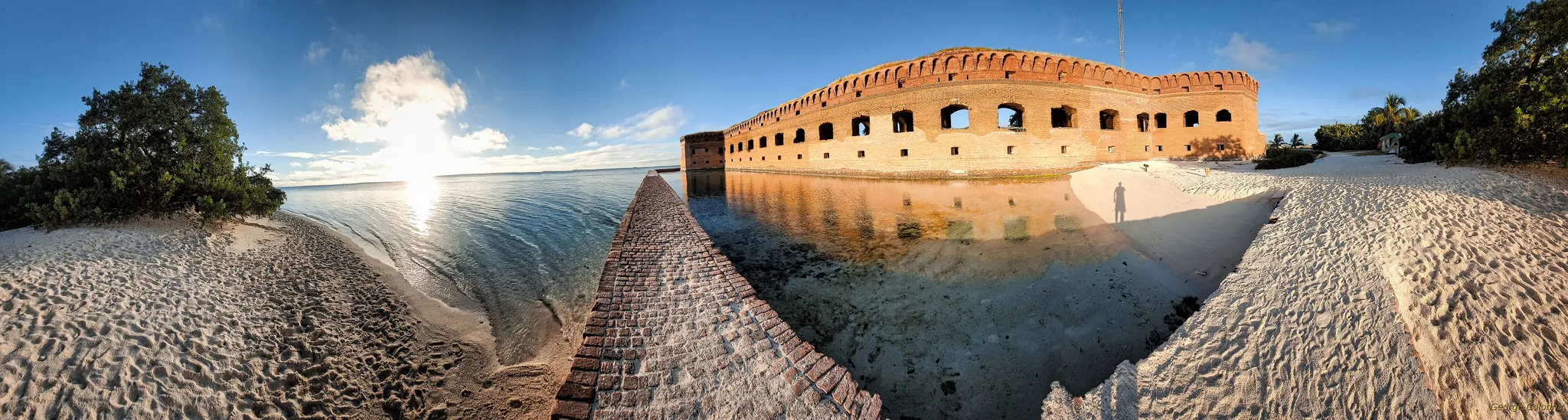 George Colonna
Maryland, United States
12 work samples
Started flying drones for General Dynamics Robotics Systems in 2009 as the subject matter expert and lead test engineer for RCTA and a program called the Soldier Machine Interface. We developed leader/follower code for up-armored autonomous assets a full decade before Google fielded their driverless car "train" and a UI that let soldiers/marines plan missions on the ground and in the air. My job was to ensure the software worked, more importantly, met customer requirements. Working in the field afforded me a wealth of experience regarding process and implementation, but also how to think critically and resolve issues on the fly. If interested in learning more about my credentials, please see my website. My current fleet is primarily DJI and Autel. I have RTK capability and a complete field kit to sustain remote operations for several days.
InspectionMapping / surveyConstructionOtherFilm / TV Tanner Scholten
Washington, United States
10 work samples
I am a professional photographer and commercial remote pilot (FAA Part 107) based in Kirkland, serving Western Washington and beyond (including most of Washington, and Oregon as needed). By pairing my skills as a photographer with the unique data types and perspectives of aerial capture, I bridge the gap between technical data collection and polished visuals. My flight experience centers on technical aerial data—including multi-site agricultural monitoring and extensive, high-resolution orthomosaic mapping—alongside clean, publication-grade commercial real estate and event media.
Mapping / surveyReal estateEventWeddingConstructionAgricultureOther
Construction drone pilots by state
Before you post
How often should we fly a site?
Monthly is the most common cadence because it matches payment cycles and reporting. Fast-moving earthworks sometimes justify fortnightly; a long fit-out phase where nothing changes outside rarely does.
Can drone volumes be used for payment?
They frequently are, but only when the method supports it. Ask the pilot how they establish scale and what accuracy they will commit to in writing, and check whether your contract or your surveyor requires a particular method.
Will the output work with our design software?
Ask for the formats you need by name — point cloud, mesh, GeoTIFF orthomosaic, DXF contours — and confirm the coordinate system. Getting the coordinate system wrong is the single most common reason a good survey lands in the wrong place on a drawing.
Do we need to tell neighbours or workers?
Your own site rules will usually say. Practically, telling the site team when a flight is happening avoids the aircraft becoming a distraction, and telling neighbours avoids the complaint that follows an unexplained drone over a boundary.
Are the pilots insured?
Ask, and ask for the certificate rather than an assurance. Most sites require a specific liability limit before anyone is allowed to work, and pilots who do construction work regularly are used to producing the paperwork.
From a job poster
The jobs nobody else would quote
“I was not expecting to have a response so quickly after calling countless different companies.”
Post your site free
Describe the site and the cadence you need, and let construction drone pilots quote the run. No commission, no obligation to hire.
Free to post
No commission · about 2 minutes