
For agents, brokerages & sellers
Real Estate Drone Photography
Free to post · Usually a reply the same day
198 real estate pilots listed · Pay the pilot directly, no commission
Free to post
Two minutes, no card, no commitment.
Pay the pilot directly
No commission or markup on their price.
FAA Part 107 pilots
The license all paid drone work requires.
Usually a reply the same day
From a pilot, or from our team if no pilot has answered.
How it works
Three steps, and the first one is free
Describe the job
The questions adapt to the work: area for a mapping job, access and asset for an inspection.
A pilot near you sends a price
Pilots whose service area and services match are emailed. Usually a reply the same day, from a pilot or from our team.
Book them and pay them directly
Check their certificate, kit and sample work, then pay the pilot. SkyLog takes no cut and adds no markup.
What to know before you book
What real estate drone photography costs
A standard residential listing shoot — a set of edited aerial stills — runs roughly $150 to $350 in 2026, with most quotes landing near $250. Adding a cut video typically adds $100 to $200, and a premium aerial-video package runs $400 to $750. Acreage, luxury and commercial property start higher again. Those figures match what we see on SkyLog itself: across quotes submitted on real estate listings posted here, pilots have bid between $100 and $500, with a median of $250. Treat any single published rate card, including this one, as a starting point rather than a price — the range exists because the properties inside it genuinely differ, and the only way to learn where a specific listing falls is to let pilots quote it.
What drives the price of a listing shoot
Four things, roughly in order. Travel time — a pilot forty minutes out prices that in. Property size, because ten acres is a different flight plan from a suburban lot. Deliverables, since edited stills, a cut video and a virtual tour are three separate pieces of work. And airspace: a property inside controlled airspace near an airport needs an FAA authorisation before anyone can legally fly it, which is usually quick but is not always instant. A twilight shoot costs more than a midday one because it can only happen in a twenty-minute window and often needs a second visit if the weather turns.
How to brief the shoot so quotes are comparable
Give the address, the property type and the square footage or acreage. Say what you need back and in what form — how many finished stills, whether you want a video and how long, and what resolution or aspect ratio your marketing needs. Give a date range rather than a single day, since drone work is weather-bound and a pilot who can shift by 24 hours will quote lower than one boxed into a fixed slot. Mention anything unusual: a listing that must not show the neighbours, a gated community with access rules, tenants who need notice.
Choosing between quotes
The cheapest quote and the best quote are often not the same, and the difference usually shows in the edit rather than the flight. Look at each pilot's published work — is the horizon level, are the shadows recoverable, do the images look like the property or like a filter? Check what is actually included: number of finished images, revision rounds, turnaround, and who holds usage rights for the marketing you plan to run. Ask about insurance if the property is high-value or dense-urban.
What a shoot covers
- A set of edited aerial stills of the property and its setting, in the resolution and aspect ratio your marketing needs.
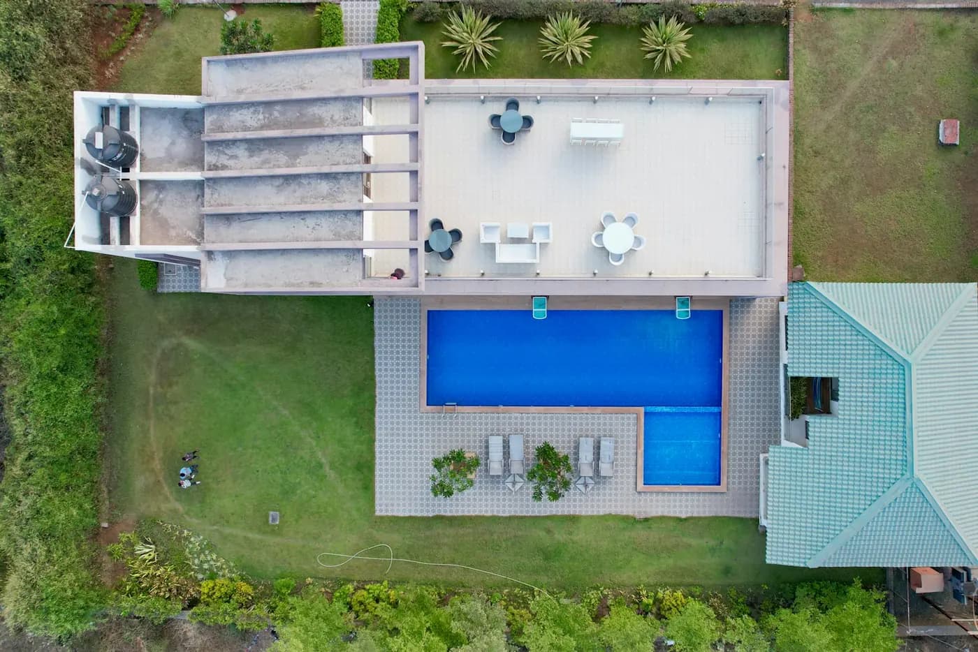
- The context shot a ground camera cannot get: lot boundaries, outbuildings, the approach, and what the property backs onto.
- Elevated views of the roof and grounds that show scale and layout in one frame.
- A shoot planned around the light, including a twilight window where that is what the listing needs.
What is priced separately
- A cut video. That is a separate deliverable, typically $100 to $200 on top of stills, and a premium package more again.
- Interior photography, floor plans or a virtual tour unless you ask for them — different kit, different pricing.
- Unlimited revision rounds or open-ended usage rights. Both are worth agreeing before the shoot rather than after.
- A flight inside controlled airspace on no notice. FAA authorisation is usually quick, but it is not always instant.
Say how many finished images you need, whether you want video, and where the images will run. Those three answers are most of the difference between quotes.
Why post it on SkyLog
The shots a listing needs
Elevated exteriors that show the roofline, the lot and what backs onto it; a low-altitude approach that reads like an arrival; and, for acreage, a boundary pass that a ground camera physically cannot take.
Stills, video, or both
Most listings use a set of edited stills for the MLS and a short cut for social. Say which you want up front — the two price differently, and video adds an editing pass that stills do not.
Licensed for paid work
Shooting a listing for money is commercial flight, which in the US requires an FAA Part 107 remote pilot certificate. Pilots list theirs on their profile and you can ask for the certificate number.
Free to post
Posting and receiving quotes costs nothing, and SkyLog takes no commission and adds no markup. You pay the pilot you hire, at the price the two of you agree.
Drone photographers with published profiles
Real published profiles. Open any one to see credentials, kit, service area and sample work before you post.
 chris aldridge
Texas, United States
20 work samples
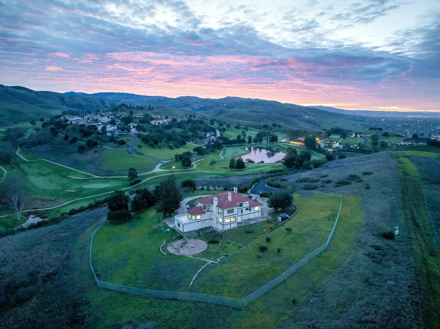
I’m a commercial drone pilot providing aerial mapping, property line overlays, topographic mapping, construction site data, radiometric thermal inspections, 3D modeling, real estate listing photography and video, property marketing, and professional aerial imagery for businesses and landowners.
Real estateWeddingEventInspectionMapping / surveyFilm / TVConstructionOther- George Benes

Oregon, United States
13 work samples
I've been a Part 107 drone pilot since 2019, working with Pacific Northwest clients on Real estate, construction progress, mapping, telecom inspections, architectural photography and events. I am very flexible and can provide deliverables within 24 - 48 hours. I take great pride in my work and having a photography business, my delivered photos are edited and culled to the best of the best. I worked for 30+ years as a commercial construction Superintendent, managing multi-million dollar construction projects and this experience allows me to be very safety oriented and knowledgeable on construction sites, providing the construction companies with usable deliverables that they can share with all stakeholders involved in their building project.
Real estateEventInspectionMapping / surveyConstruction 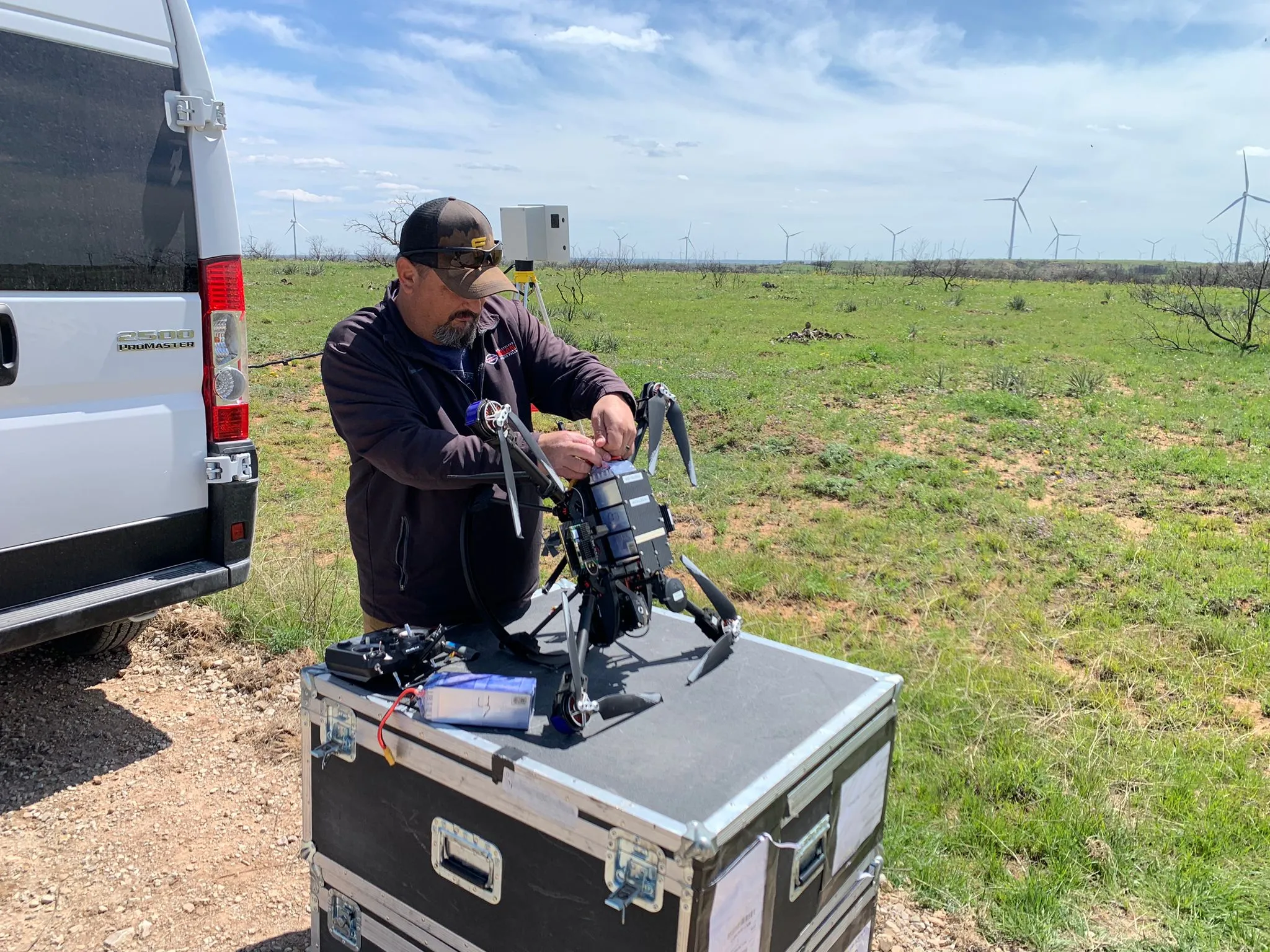 Clifford Cox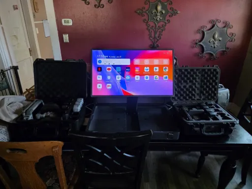
Texas, United States
12 work samples
My main focus is mapping and critical infrastructure surveying. I fly both a mavic 3 enterprise ( mapping and videography) and a matrice 4T thermal drone. I'm always looking to meet new people to get jobs done. And to make sure that the customer/client that I am working with gets exactly what they are looking for. I'm pretty easy going and I do not mind the travel. I have over 7 years of experience with real-estate, power line, mapping and construction site surveying and much more.
Real estateInspectionMapping / surveyConstruction Andy Jones
California, United States
12 work samples
FAA Part 107 Certified Remote Pilot based in Southern California, specializing in construction documentation, infrastructure inspections, mapping, orthomosaics, and aerial imagery. With more than two decades of experience managing complex federal construction projects, I understand the importance of accuracy, safety, and delivering actionable data—not just photos. I operate professional DJI Enterprise aircraft, including the DJI Matrice 4E, DJI Matrice 4T, as well as the DJI Air 3S for high-resolution imaging and the DJI Neo 2 for specialized close-range operations. My services include construction progress documentation, roof and property inspections, land development, infrastructure photography, photogrammetry, mapping, and custom aerial imaging. I also conduct search operations for lost pets using aerial search techniques and thermal imaging. Every mission is conducted in compliance with FAA regulations, with careful mission planning, clear communication, and a commitment to delivering high-quality results on schedule. Whether you need a single inspection or recurring project documentation, my goal is to provide reliable aerial data you can confidently use to make decisions. For ground work, I use a Cannon EOS R50 for photography and video.
Real estateEventInspectionMapping / surveyConstructionAgricultureOtherFilm / TVWedding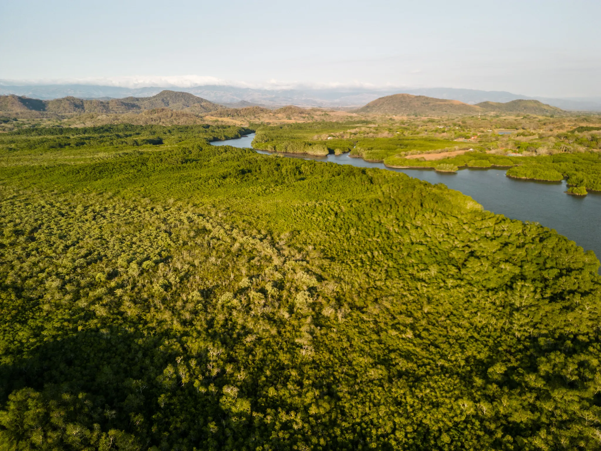 Tanner Scholten
Washington, United States
10 work samples
I am a professional photographer and commercial remote pilot (FAA Part 107) based in Kirkland, serving Western Washington and beyond (including most of Washington, and Oregon as needed). By pairing my skills as a photographer with the unique data types and perspectives of aerial capture, I bridge the gap between technical data collection and polished visuals. My flight experience centers on technical aerial data—including multi-site agricultural monitoring and extensive, high-resolution orthomosaic mapping—alongside clean, publication-grade commercial real estate and event media.
Mapping / surveyReal estateEventWeddingConstructionAgricultureOther- K Enagonio

Tennessee, United States
10 work samples
I've been flying since 2015 and specialize in both cinematic filmmaking as well as surveying, construction, sensitive infrastructure capture, and music videos and events.
Film / TVConstructionInspectionEventAgricultureReal estateMapping / surveyOther
Real estate drone photographers by state
Before you post
How much does real estate drone photography cost?
Budget $150 to $350 for a standard residential listing shoot of edited aerial stills, with most quotes near $250. A cut video usually adds $100 to $200, and premium aerial-video packages reach $400 to $750. Acreage and commercial property start higher. On SkyLog, real quotes for real estate listings have ranged from $100 to $500 with a $250 median. Post the listing free and you will have real numbers for your property rather than an average of everyone else's.
How many aerial photos does a listing usually need?
Most agents use somewhere between five and fifteen finished aerials alongside their ground photography — enough to establish the property, the lot and the surroundings without burying the interior shots. Say the number you want when you post; it is one of the main things pilots price on.
Can a drone photographer shoot the interior too?
Some do, though indoor work is usually flown with a small FPV drone or shot on a ground camera rather than the aircraft used outside. If you want interiors as well, say so in the brief — it changes both the equipment and the time on site.
What happens if the weather is bad on the day?
The shoot moves. Drones cannot fly safely in high wind or rain, and overcast light flattens exactly the depth aerials are hired for. Agree a fallback date with your pilot when you book rather than leaving it open.
Who owns the photos?
That is between you and the pilot and it is worth settling before the shoot. Photographers commonly license images for a specific marketing use rather than transferring copyright outright, so if you need the images for a brochure, a franchise portal and paid social, say so and get it in writing.
Do I need permission to fly over a property I am selling?
You need the property owner's consent to work on their behalf, and the pilot is responsible for the airspace side — checking controlled airspace and filing for authorisation where it is required. A pilot who does not mention airspace at all is worth a follow-up question.
From a job poster
The jobs nobody else would quote
“I was not expecting to have a response so quickly after calling countless different companies.”
Post your listing shoot free
Describe the property once and let Part 107 drone photographers quote you. No commission, no obligation to hire.
Free to post
No commission · about 2 minutes