Thermal Drone Inspection
A thermal camera does not see heat sources. It sees surface temperature, and infers everything else from it — which is why the same flight can be conclusive or worthless depending on the weather, the time of day and whether anyone asked for temperature data rather than orange pictures.
- Free to post
- No commission on the job
- Part 107 certified pilots


118 inspection pilots ready to quoteAcross 37 states & regions
Radiometric, not just colourful
A thermal JPEG is a picture of relative warmth. A radiometric capture stores a temperature for every pixel, so an analyst can measure a delta rather than guess at a hue. Anything feeding a report, a claim or an energy calculation needs the second kind — and it is a different payload, so it has to be asked for before the flight.
Timing decides the result
Thermal contrast comes from things heating and cooling at different rates. Most building and roof work is flown in the hours after sunset, when the structure gives back the day's heat unevenly. A midday flight on an overcast day can show almost nothing at all, and no amount of processing recovers it.
It narrows the search
Thermal tells you where to look, rarely what is wrong. A warm patch on a flat roof is trapped moisture, a leak, a design detail or a duct — the scan finds the anomaly in minutes and a person confirms it in one place instead of thirty.
Free to post
Posting and receiving quotes costs nothing, and SkyLog takes no commission and adds no markup. You pay the pilot you hire, at the price the two of you agree.
What this settles
- Finds moisture trapped in roof insulation, which holds heat and glows in the hours after sunset.
- Finds loose connections, unbalanced phases and failing joints on electrical gear — but only while it is energised and under load.
- Shows missing insulation, thermal bridging and air leakage as patterns on a wall, given a real inside-to-outside temperature difference.
- Reads cracked cells, bypassed diodes and dead strings across a solar array in a single pass.
What it does not
- See through walls, roofs or water. It reads the surface and infers the rest from how that surface behaves.
- Measure how wet something is — only that a region is behaving differently from its neighbours.
- Work on wet, windy or strongly sunlit surfaces. Rain levels everything, wind strips the difference away, sun loads the surface with borrowed heat.
- Read shiny metal reliably. Low-emissivity surfaces mostly reflect the sky back at the sensor.
A pilot who mentions none of this and promises to find your leak in any weather is selling certainty they do not have. Ask for radiometric files if anyone downstream needs to measure from them — screenshots cannot be re-analysed.
How it works
Three steps, no account needed to start, and nothing to pay at any point in it.
- 1
Describe the job
The form opens with this page's answers already filled in — service, deliverable, site access. Add the location and anything specific to your site.
- 2
Pilots quote it
Every pilot whose service area and services match is notified. You get itemised quotes back with their credentials, kit and sample work attached.
- 3
Compare and hire
Pick on price, proximity or portfolio, and pay the pilot directly. SkyLog takes no cut and adds no markup to what you agree.
Pilots who list thermal work
Real published profiles. Open any one to see credentials, kit, service area and sample work before you post.
 chris aldridge
Texas, United States
20 work samples
I’m a commercial drone pilot providing aerial mapping, property line overlays, topographic mapping, construction site data, radiometric thermal inspections, 3D modeling, real estate listing photography and video, property marketing, and professional aerial imagery for businesses and landowners.
Real estateWeddingEventInspectionMapping / surveyFilm / TVConstructionOther Andy Jones
California, United States
12 work samples
FAA Part 107 Certified Remote Pilot based in Southern California, specializing in construction documentation, infrastructure inspections, mapping, orthomosaics, and aerial imagery. With more than two decades of experience managing complex federal construction projects, I understand the importance of accuracy, safety, and delivering actionable data—not just photos. I operate professional DJI Enterprise aircraft, including the DJI Matrice 4E, DJI Matrice 4T, as well as the DJI Air 3S for high-resolution imaging and the DJI Neo 2 for specialized close-range operations. My services include construction progress documentation, roof and property inspections, land development, infrastructure photography, photogrammetry, mapping, and custom aerial imaging. I also conduct search operations for lost pets using aerial search techniques and thermal imaging. Every mission is conducted in compliance with FAA regulations, with careful mission planning, clear communication, and a commitment to delivering high-quality results on schedule. Whether you need a single inspection or recurring project documentation, my goal is to provide reliable aerial data you can confidently use to make decisions.
Real estateEventInspectionMapping / surveyConstructionAgricultureOtherFilm / TVWedding Casey Jones
Arizona, United States
9 work samples
FAA Part 107 commercial drone pilot specializing in RTK mapping, aerial photography, thermal imaging, property documentation, construction progress, and detailed site capture. I operate professional DJI aircraft including the Matrice 4E and Matrice 4T, with RTK capability for repeatable, high-quality data collection. I approach each assignment as a complete mission, from airspace and site planning through safe flight operations, field verification, data handling, and final delivery. I serve clients throughout the California, Nevada, and Arizona tri-state region and am available for both individual assignments and multi-site projects.
Real estateEventMapping / surveyConstructionAgricultureOtherInspection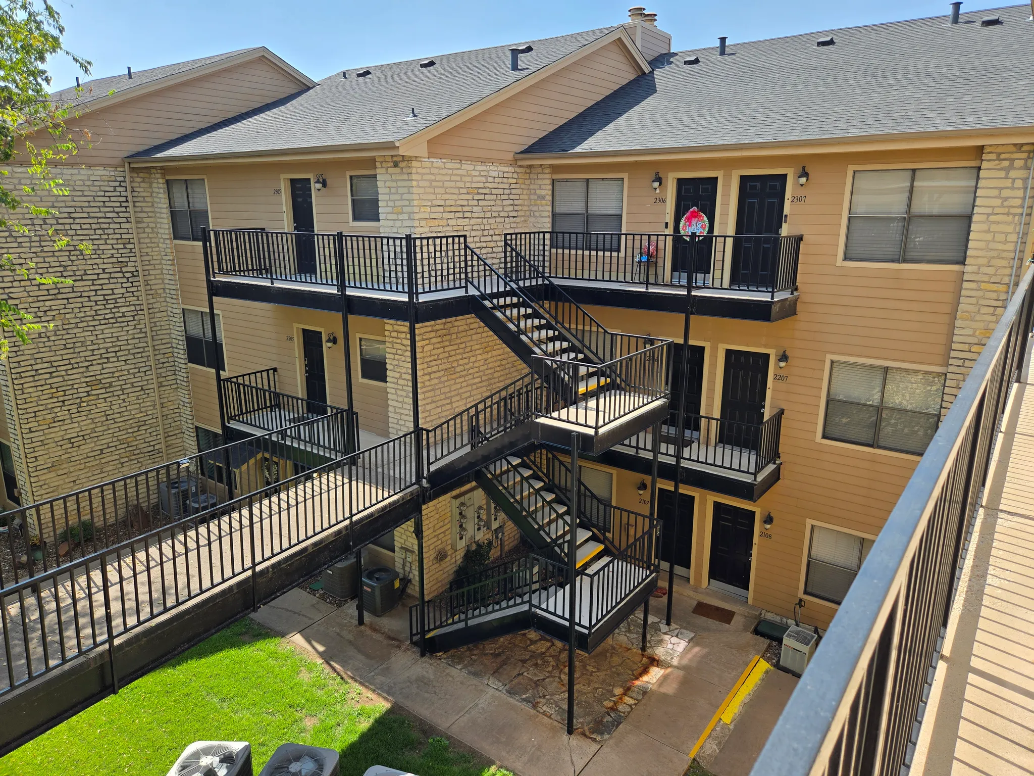 Charles Wright
Texas, United States
7 work samples
Licensed pilot 2/2025 real estate mapping thermal
Real estateInspectionMapping / survey- George Benes

Oregon, United States
13 work samples
I've been a Part 107 drone pilot since 2019, working with Pacific Northwest clients on Real estate, construction progress, mapping, telecom inspections, architectural photography and events. I am very flexible and can provide deliverables within 24 - 48 hours. I take great pride in my work and having a photography business, my delivered photos are edited and culled to the best of the best. I worked for 30+ years as a commercial construction Superintendent, managing multi-million dollar construction projects and this experience allows me to be very safety oriented and knowledgeable on construction sites, providing the construction companies with usable deliverables that they can share with all stakeholders involved in their building project.
Real estateEventInspectionMapping / surveyConstruction 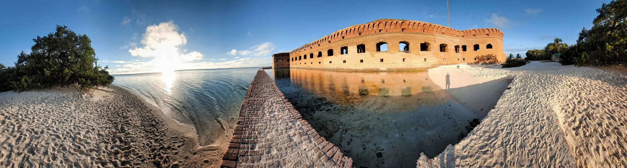 George Colonna
Maryland, United States
12 work samples
Started flying drones for General Dynamics Robotics Systems in 2009 as the subject matter expert and lead test engineer for RCTA and a program called the Soldier Machine Interface. We developed leader/follower code for up-armored autonomous assets a full decade before Google fielded their driverless car "train" and a UI that let soldiers/marines plan missions on the ground and in the air. My job was to ensure the software worked, more importantly, met customer requirements. Working in the field afforded me a wealth of experience regarding process and implementation, but also how to think critically and resolve issues on the fly. If interested in learning more about my credentials, please see my website. My current fleet is primarily DJI and Autel. I have RTK capability and a complete field kit to sustain remote operations for several days.
InspectionMapping / surveyConstructionOtherFilm / TV
Inspection pilots by state
What thermal actually finds
Four families of problem, and they are worth separating because they need different flights. Moisture: water trapped in roof insulation holds heat longer than dry material, so it glows after sunset. Electrical: loose connections, unbalanced phases and failing joints run hot under load, so the site has to be energised and ideally near peak demand. Building envelope: missing insulation, thermal bridging and air leakage show as patterns on a wall when there is a real temperature difference between inside and out. And solar: a cracked cell, a bypassed diode or a whole dead string reads clearly from the air, which is why utility-scale arrays are inspected this way as a matter of routine.
What it cannot do
It cannot see through walls, roofs or water — it sees the surface, and infers what is under it from how that surface behaves. It cannot measure how wet something is, only that a region is behaving differently from its neighbours. It struggles on wet, windy or strongly sunlit surfaces, because rain cools everything to the same temperature, wind strips the difference away, and direct sun loads a surface with reflected energy that has nothing to do with what is underneath. Shiny metal is close to unreadable without care, since low-emissivity surfaces mostly reflect the sky. A pilot who says none of this and promises to find your leak in any weather is selling certainty they do not have.
Scoping a thermal job so quotes are comparable
Say what you suspect and what the output is for — chasing a leak, closing a claim, supporting a grant application and building a maintenance baseline are four different jobs. Ask explicitly for radiometric files if anyone downstream needs to measure from them, because a set of screenshots cannot be re-analysed later. Say whether the site can be energised or occupied at the time of flight, since electrical and envelope work both depend on it. Agree the window: if the answer needs a post-sunset flight, that is a constrained slot and a weather-dependent one, and it is much cheaper to build a second attempt into the plan than to renegotiate it on the night.
Qualifications worth asking about
Anyone flying commercially in the US needs an FAA Part 107 certificate, and that is about the aircraft, not about the sensor. Thermography has its own training ladder — Level I and Level II certifications through bodies such as Infrared Training Center — and it is what separates a pilot who captures a good thermal image from one who can tell you what it means and put a defensible number in a report. If the deliverable is a report someone will act on, ask who is interpreting the data and what qualifies them to do it.
Common questions
How much does a thermal drone inspection cost?
Thermal is normally priced as a visual inspection plus a thermal premium rather than as its own rate — commonly $100 to $200 on top of a residential roof survey, and more where the deliverable is a radiometric report rather than images. Across all inspection work quoted on SkyLog to date, quotes have run from $100 to about $1,550 with a $300 median, though that spans every kind of inspection, not thermal alone. The honest answer for your job comes from posting it: scope, sensor and site drive the number more than any rate card does.
What is the difference between thermal and radiometric?
A thermal image shows relative warmth as colour. A radiometric image stores an actual temperature value per pixel, so someone can open it later and measure the difference between two points. If your report needs to state a delta, or if a third party will re-analyse the data, you need radiometric — and you need to say so before the flight, because it depends on the camera.
When should the flight happen?
For roofs and building envelopes, usually within a few hours after sunset, on a dry day with little wind and a real temperature difference between the structure and the air. For electrical work, when the system is under meaningful load. For solar, in high, stable irradiance — the opposite condition. There is no single good time; it depends on what you are looking for.
Can thermal find a leak in my roof?
It can often find where water is sitting in the roof build-up, which is usually near the failure but is not the same thing as the entry point. Water travels. Treat a thermal scan as the thing that tells a roofer where to open the roof up, not as a substitute for opening it.
Does thermal work through glass or walls?
No. Glass is effectively opaque to the wavelengths these cameras use, and a wall is read from its surface only. Anything described as seeing through a wall is describing the inference, not the measurement.
Do I need a certified thermographer?
For raw imagery, no. For a report that classifies severity or gets used in a claim, a warranty argument or an energy calculation, it is a fair thing to insist on — ask for Level I or Level II thermography certification and ask who is signing the interpretation.
Related drone services
Post your thermal inspection free
Say what you need scanned and what you suspect. Pilots with thermal payloads quote you directly, and we take no commission.
- No commission, ever
- Part 107 certified pilots
- No obligation to hire
Prices and guidance on this page were last reviewed .