Drone Roof Measurement Report
A measured roof take-off from aerial imagery gives you areas, pitches and lineal footage without sending an estimator up a ladder. The trade against a national report service is not accuracy — it is turnaround, imagery age, and who you are actually buying from.
- Free to post
- No commission on the job
- Part 107 certified pilots

118 inspection pilots ready to quoteAcross 37 states & regions
Measured from today's roof
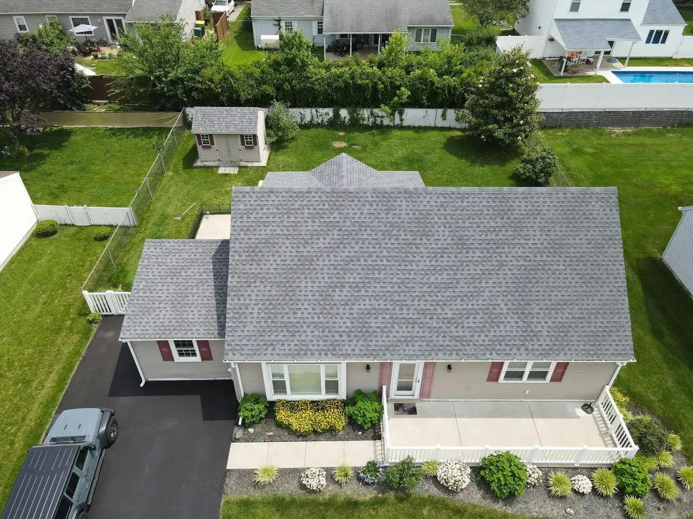
A pilot flies the property when you ask. Report services work from imagery captured at some earlier point, which is usually fine and occasionally very much not — after a storm, after an addition, or on a house that did not exist when the imagery was flown.
Measurements and condition together
The same flight that produces the take-off produces the close imagery of the roof's actual state. Two deliverables, one mobilisation — which is why this is usually commissioned alongside an inspection rather than on its own.
You set the price, not a subscription
Post the property, get quotes, pay the pilot. There is no per-report tariff and no plan, and for a contractor pulling occasional reports rather than dozens a week that arithmetic often lands differently.
Free to post
Posting and receiving quotes costs nothing, and SkyLog takes no commission and adds no markup. You pay the pilot you hire, at the price the two of you agree.
What the report gives you
- Areas per roof plane, pitches, and ridge, hip, valley, rake and eave lengths, with totals in squares.
- A measured take-off from a flight planned for measurement rather than for photographs.
- Accuracy typically within a few percent of a careful hand measurement — inside the waste factor on most jobs.
- Current conditions, captured today, with damage documentation available from the same visit.
Where it degrades
- See facets hidden under heavy tree cover, or planes the flight could not view at all.
- Reconstruct low-contrast surfaces reliably — photogrammetry needs texture to match against.
- Dimension skylights, chimneys, HVAC or solar arrays unless you ask for them specifically.
- Land in your estimating platform in the right format by default. Name the format before the flight.
Ask any provider what accuracy they claim and what they do about facets that were not visible. A report that silently interpolates a hidden plane is worse than one that flags it.
How it works
Three steps, no account needed to start, and nothing to pay at any point in it.
- 1
Describe the job
The form opens with this page's answers already filled in — service, deliverable, site access. Add the location and anything specific to your site.
- 2
Pilots quote it
Every pilot whose service area and services match is notified. You get itemised quotes back with their credentials, kit and sample work attached.
- 3
Compare and hire
Pick on price, proximity or portfolio, and pay the pilot directly. SkyLog takes no cut and adds no markup to what you agree.
Pilots who list roof work
Real published profiles. Open any one to see credentials, kit, service area and sample work before you post.
 Andy Jones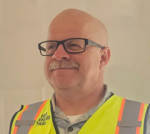
California, United States
12 work samples
FAA Part 107 Certified Remote Pilot based in Southern California, specializing in construction documentation, infrastructure inspections, mapping, orthomosaics, and aerial imagery. With more than two decades of experience managing complex federal construction projects, I understand the importance of accuracy, safety, and delivering actionable data—not just photos. I operate professional DJI Enterprise aircraft, including the DJI Matrice 4E, DJI Matrice 4T, as well as the DJI Air 3S for high-resolution imaging and the DJI Neo 2 for specialized close-range operations. My services include construction progress documentation, roof and property inspections, land development, infrastructure photography, photogrammetry, mapping, and custom aerial imaging. I also conduct search operations for lost pets using aerial search techniques and thermal imaging. Every mission is conducted in compliance with FAA regulations, with careful mission planning, clear communication, and a commitment to delivering high-quality results on schedule. Whether you need a single inspection or recurring project documentation, my goal is to provide reliable aerial data you can confidently use to make decisions.
Real estateEventInspectionMapping / surveyConstructionAgricultureOtherFilm / TVWedding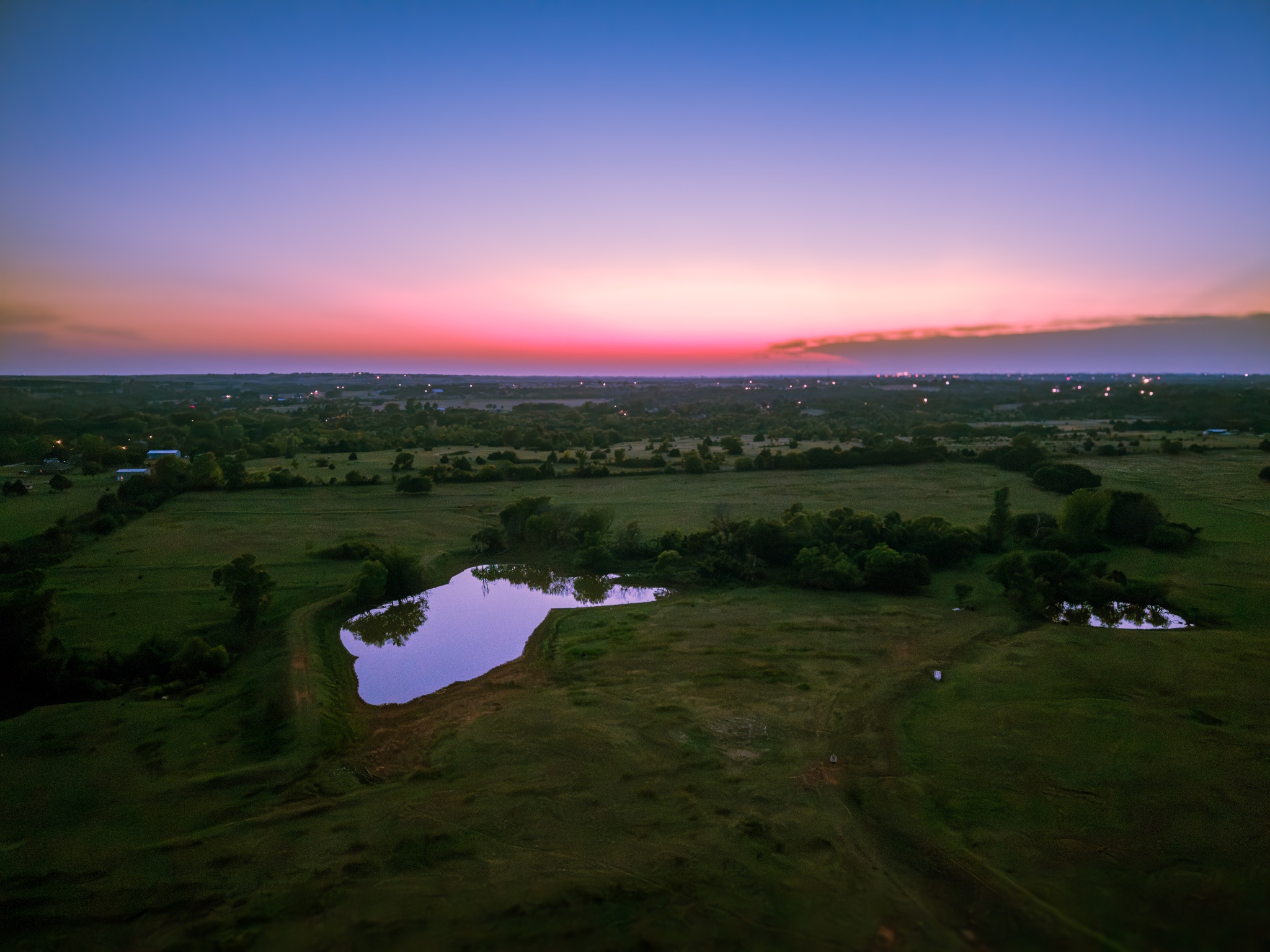 Nick Bowen
Oklahoma, United States
3 work samples
CreekBridge Media is fully Part 107 Licensed with the FAA for Commercial Drone Services and Insured for everybody's protection. All flights are thoroughly researched and planned out in advance, and all flight data is logged and archived via AirData UAV. CreekBridge media follows FAA 14 CFR Part 107 regulations for small Unmanned Aircraft Systems (sUAS) and reserves the right to deny services that are unsafe or in violation of Part 107 regulations. CreekBridge Media specializes in Real Estate, Roof Inspection, General Photography and Videography including editing.
Real estateInspectionWeddingEventConstructionOtherFilm / TV Matthew Watson
Indiana, United States
3 work samples
I am a Part 107 certified drone pilot. I have been flying drones professionally for two years and recreationally for another 3 years before that. Freedom Flyer LLC is a Christian, veteran owned company. My goal is to capture and create the highest quality aerial imagery for my customers.
Real estateEventOtherInspection- JDJohn Daily
Minnesota, United States
3 work samples
Experienced highly in telecom inspections. Also conducts building inspections, roof inspections, pavement inspections, mapping, real estate photography, and 3D scanning. I have 2-Mavic 3 Enterprises, Matterport Pro 3, Insta360 X4, Gopro 360 MAX, Gopro Hero 10, DRTK-2 base station, a camper for long term site projects, an in vehicle/tent setup for short term projects, I also have a contractor that assists as a visual observer and ground work contractor.
Real estateInspectionMapping / surveyConstructionAgriculture - RTRonald Tindall
Michigan, United States
2 work samples
Hawkline Aerial LLC provides more then just images. We provide progress reports and verifiable proof.
InspectionMapping / surveyAgricultureConstructionReal estate  chris aldridge
Texas, United States
20 work samples
I’m a commercial drone pilot providing aerial mapping, property line overlays, topographic mapping, construction site data, radiometric thermal inspections, 3D modeling, real estate listing photography and video, property marketing, and professional aerial imagery for businesses and landowners.
Real estateWeddingEventInspectionMapping / surveyFilm / TVConstructionOther
Inspection pilots by state
How the measurements are produced
The pilot flies a structured pattern over the property — typically a nadir grid plus obliques from several angles — and the overlapping images are processed photogrammetrically into a scaled model of the roof. Facets are then traced on that model to produce areas per plane, pitches, ridge, hip, valley, rake and eave lengths, and totals in squares. Scale comes from the aircraft's positioning, improved considerably where the aircraft has RTK or where a known dimension on the ground is used as a check. The output is a measured take-off, and the thing that makes it trustworthy is that the flight was planned for measurement rather than for photographs.
What accuracy to expect, honestly
Well-executed aerial roof measurement is typically within a few percent of a careful hand measurement, which is inside the waste factor on most jobs. It degrades where you would expect: heavy tree cover obscuring facets, very steep or multi-level roofs with hidden planes, low-contrast surfaces that photogrammetry struggles to match, and anything the flight could not see. Ask any provider what accuracy they claim, how they verify it, and what they do about facets that were not visible. A report that silently interpolates a hidden plane is worse than one that flags it.
Against a national report service
Report services are fast, cheap per unit at volume, cover almost any address without anyone travelling, and produce a consistent document your estimating software already understands. Their weakness is that the imagery has an age, and neither you nor they always know what has changed since. A local pilot flies current conditions, can capture damage documentation in the same visit, and can be asked for exactly the format you want. For high-volume routine estimating, the report service usually wins on cost per unit. For a storm-damaged roof, a recent alteration, a rural property with stale imagery, or anywhere you also need condition evidence, the flight wins. Plenty of contractors use both.
Specify the output format before the flight
This is the step most likely to cost you a re-do. Say which estimating platform the numbers are going into and what format you need — a PDF with a diagram and a table, a spreadsheet of facets, or a file your software can ingest. Say whether you need pitch per facet or a single predominant pitch. Say whether you want the imagery as well as the measurements, and whether the raw files are yours. And say whether anything on the roof needs its own dimensions: skylights, chimneys, HVAC, solar arrays and penetrations are frequently the difference between a take-off that estimates cleanly and one that needs a phone call.
Common questions
How accurate is a drone roof measurement?
A properly flown and processed take-off is generally within a few percent of a careful manual measurement, which usually falls inside normal waste allowances. Accuracy depends on the flight plan, the processing and how much of the roof was actually visible — ask what is claimed and how it is checked.
What does a drone roof measurement report cost?
It is quoted per property rather than tariffed, and typically bundles with an inspection because it is the same visit. Post the address and what format you need; comparing two or three quotes is the fastest way to a real number for your area.
How fast can I get one?
Flight time is under an hour for a typical house. The processing and drafting is what sets turnaround, so ask about that separately — same-day is possible, a couple of days is common.
Will it work with my estimating software?
Only if you say which one before the flight. Ask for the specific format you need in the post; retrofitting a format after delivery is a second piece of work.
Can the same flight document damage for a claim?
Yes, and doing both at once is usually why this gets commissioned. Say in the post that you need measurements and condition imagery, because the capture for each is slightly different and a pilot who knows both are wanted will fly for both.
What if the roof is under trees?
Overhanging canopy is the main practical limit — facets the camera cannot see cannot be measured, only inferred. A pilot should tell you at quote stage if the property looks problematic, and flag on delivery any plane they could not fully capture.
Related drone services
Post the property, get measured
Give the address and the format your estimating needs. Local pilots quote directly, with no per-report subscription.
- No commission, ever
- Part 107 certified pilots
- No obligation to hire
Prices and guidance on this page were last reviewed .