
For marketing, property & events
Drone Photography Services
Free to post · Usually a reply the same day
198 real estate pilots listed · Pay the pilot directly, no commission
Free to post
Two minutes, no card, no commitment.
Pay the pilot directly
No commission or markup on their price.
FAA Part 107 pilots
The license all paid drone work requires.
Usually a reply the same day
From a pilot, or from our team if no pilot has answered.
How it works
Three steps, and the first one is free
Describe the job
The questions adapt to the work: area for a mapping job, access and asset for an inspection.
A pilot near you sends a price
Pilots whose service area and services match are emailed. Usually a reply the same day, from a pilot or from our team.
Book them and pay them directly
Check their certificate, kit and sample work, then pay the pilot. SkyLog takes no cut and adds no markup.
What to know before you book
What aerial photography costs and why it varies
Half-day and full-day rates are the common shapes, with short single-subject shoots priced as a job. The variables are travel, time on site, how many finished images you need, how much editing each one gets, and whether the location needs an airspace authorisation or a permit. Light is a cost too: a shot that only works at dawn or dusk buys a narrow window and often a second attempt. Licensing matters as much as the shoot — an image for one social post and the same image for a national campaign are not usually priced the same, so say where it will run.
Writing a brief that gets you the picture
Name the subject and the location. Describe the shot rather than the equipment: what should be in frame, from roughly what height and angle, what mood or time of day, and what it is for. Reference images help more than adjectives. Say how many finished frames you need, what aspect ratios your channels use, and when you need them. Give a weather window rather than a single date. And say clearly if there is something that must not appear — a neighbouring property, a competitor's signage, faces.
Where drones cannot fly
Not everywhere is available, and finding out on the day is expensive. Controlled airspace around airports requires prior FAA authorisation. Some parks, stadiums, prisons, military sites and critical infrastructure carry standing restrictions, and temporary restrictions appear around major events and emergencies. Flying over people who are not part of the operation is limited by the aircraft's category and the pilot's authorisations. Give the exact location when you post and a competent pilot will check all of this before quoting rather than after arriving.
What you are buying
- Time on site and a specified number of finished, edited images rather than a card full of raw frames.
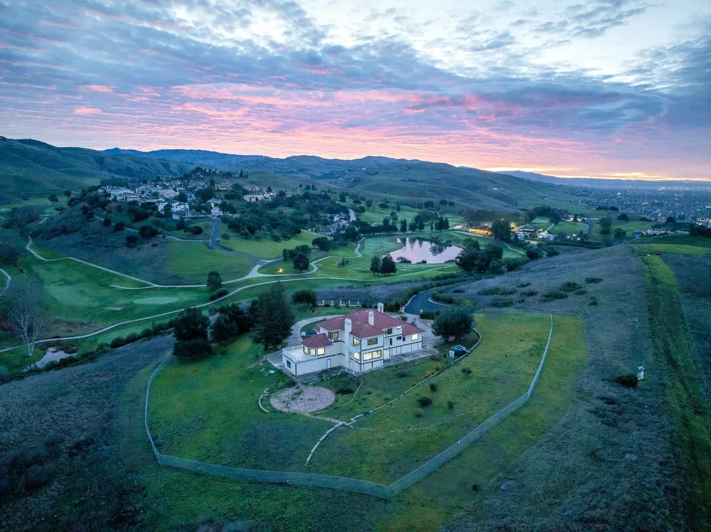
- Elevated and aerial perspectives of a subject, site or landscape that cannot be shot from the ground.
- A shoot planned around the light, which for most briefs means a narrow window at dawn or dusk.
- Licensing agreed for where the image will actually run.
What changes the price or the answer
- Cover flight everywhere. Restricted airspace, national parks and some municipal land are closed or need permission that takes time.
- Guarantee a specific day. Wind, not rain, is the usual limit, and a golden-hour brief buys under an hour twice a day.
- Include a national-campaign licence at a single-social-post price. Say where it runs and it gets quoted correctly.
- Include heavy retouching or compositing as standard — that is editing time, and it is priced as such.
The two answers that move a quote most are how many finished images you need and how much editing each one gets.
Why post it on SkyLog
The shot you cannot get from the ground
Elevation changes what a subject means — a building's relationship to its site, the scale of an event, the shape of a coastline. That change of vantage is what you are buying, not the aircraft.
Compare before you commit
Pilots publish profiles with their kit, service area and sample work. Look at what they have actually shot before, not only at the price.
Licensed for commercial work
Paid aerial photography in the US requires an FAA Part 107 certificate. It is a reasonable thing to ask about, along with liability insurance if you are shooting somewhere sensitive.
Free to post
Posting and receiving quotes costs nothing, and SkyLog takes no commission and adds no markup. You pay the pilot you hire, at the price the two of you agree.
Drone photographers with published profiles
Real published profiles. Open any one to see credentials, kit, service area and sample work before you post.
 chris aldridge
Texas, United States
20 work samples
I’m a commercial drone pilot providing aerial mapping, property line overlays, topographic mapping, construction site data, radiometric thermal inspections, 3D modeling, real estate listing photography and video, property marketing, and professional aerial imagery for businesses and landowners.
Real estateWeddingEventInspectionMapping / surveyFilm / TVConstructionOther- George Benes

Oregon, United States
13 work samples
I've been a Part 107 drone pilot since 2019, working with Pacific Northwest clients on Real estate, construction progress, mapping, telecom inspections, architectural photography and events. I am very flexible and can provide deliverables within 24 - 48 hours. I take great pride in my work and having a photography business, my delivered photos are edited and culled to the best of the best. I worked for 30+ years as a commercial construction Superintendent, managing multi-million dollar construction projects and this experience allows me to be very safety oriented and knowledgeable on construction sites, providing the construction companies with usable deliverables that they can share with all stakeholders involved in their building project.
Real estateEventInspectionMapping / surveyConstruction 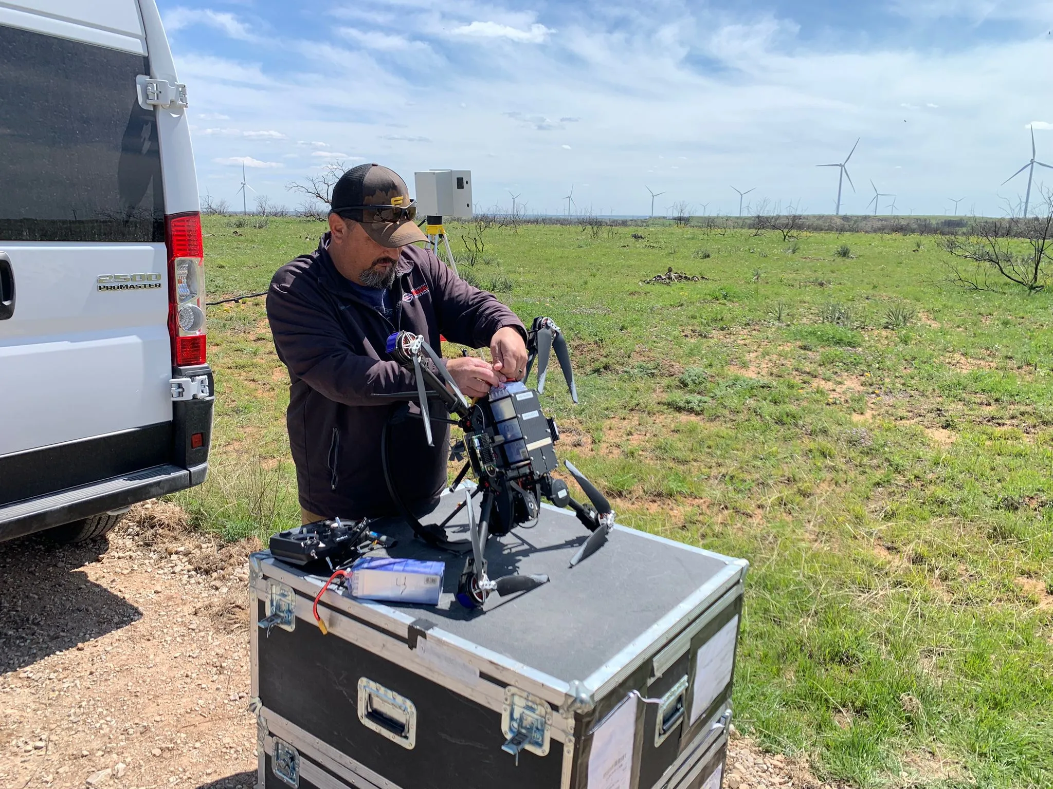 Clifford Cox
Texas, United States
12 work samples
My main focus is mapping and critical infrastructure surveying. I fly both a mavic 3 enterprise ( mapping and videography) and a matrice 4T thermal drone. I'm always looking to meet new people to get jobs done. And to make sure that the customer/client that I am working with gets exactly what they are looking for. I'm pretty easy going and I do not mind the travel. I have over 7 years of experience with real-estate, power line, mapping and construction site surveying and much more.
Real estateInspectionMapping / surveyConstruction Andy Jones
California, United States
12 work samples
FAA Part 107 Certified Remote Pilot based in Southern California, specializing in construction documentation, infrastructure inspections, mapping, orthomosaics, and aerial imagery. With more than two decades of experience managing complex federal construction projects, I understand the importance of accuracy, safety, and delivering actionable data—not just photos. I operate professional DJI Enterprise aircraft, including the DJI Matrice 4E, DJI Matrice 4T, as well as the DJI Air 3S for high-resolution imaging and the DJI Neo 2 for specialized close-range operations. My services include construction progress documentation, roof and property inspections, land development, infrastructure photography, photogrammetry, mapping, and custom aerial imaging. I also conduct search operations for lost pets using aerial search techniques and thermal imaging. Every mission is conducted in compliance with FAA regulations, with careful mission planning, clear communication, and a commitment to delivering high-quality results on schedule. Whether you need a single inspection or recurring project documentation, my goal is to provide reliable aerial data you can confidently use to make decisions. For ground work, I use a Cannon EOS R50 for photography and video.
Real estateEventInspectionMapping / surveyConstructionAgricultureOtherFilm / TVWedding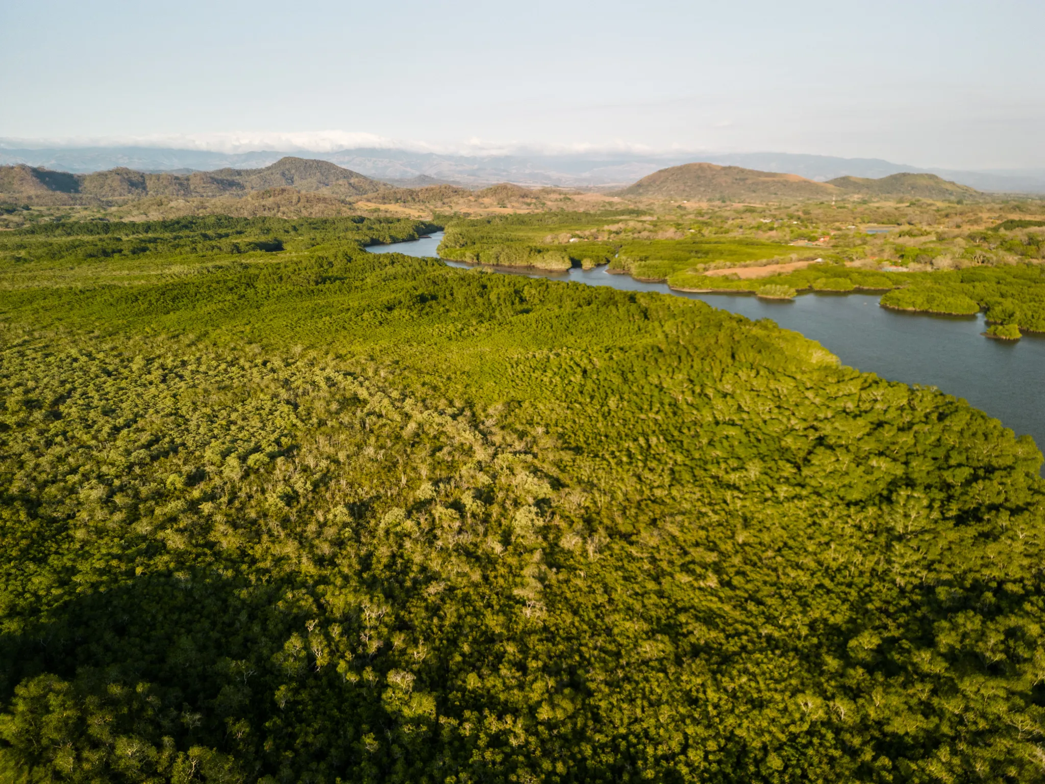 Tanner Scholten
Washington, United States
10 work samples
I am a professional photographer and commercial remote pilot (FAA Part 107) based in Kirkland, serving Western Washington and beyond (including most of Washington, and Oregon as needed). By pairing my skills as a photographer with the unique data types and perspectives of aerial capture, I bridge the gap between technical data collection and polished visuals. My flight experience centers on technical aerial data—including multi-site agricultural monitoring and extensive, high-resolution orthomosaic mapping—alongside clean, publication-grade commercial real estate and event media.
Mapping / surveyReal estateEventWeddingConstructionAgricultureOther- K Enagonio

Tennessee, United States
10 work samples
I've been flying since 2015 and specialize in both cinematic filmmaking as well as surveying, construction, sensitive infrastructure capture, and music videos and events.
Film / TVConstructionInspectionEventAgricultureReal estateMapping / surveyOther
Drone photographers by state
Before you post
How long does an aerial shoot take?
A single-subject shoot is often an hour or two on site including setup and safety checks. Batteries mean flying happens in bursts of roughly twenty minutes, so time on site is always longer than time in the air.
Do I get raw files or edited images?
Ask, because photographers differ. Most deliver a set of edited images and keep the raws; if you need the originals, negotiate that up front rather than after delivery.
Can you shoot in wind or light rain?
Light wind is fine and most consumer and prosumer aircraft are not rated for rain at all. Photographers will usually postpone rather than risk both the aircraft and the quality of the images.
Do I need permission to be photographed from the air?
The pilot handles airspace and flight rules. Privacy and property permissions are situational — if you are shooting a private site you do not control, or a location with its own filming rules, sort that out before the booking rather than assuming aviation rules cover it.
How do I check a photographer is any good?
Look at published work in conditions like yours, ask what was shot on assignment versus for practice, and ask what they would do if the light on the day is flat. The answer to the last question tells you a lot.
From a job poster
The jobs nobody else would quote
“I was not expecting to have a response so quickly after calling countless different companies.”
Post your aerial shoot free
Describe the shot you want and let Part 107 drone photographers quote you. No commission, no obligation to hire.
Free to post
No commission · about 2 minutes