Drone Inspection for Insurance Claims
Aerial inspection has been part of claims handling for years; the constraint is rarely whether to use it and usually who is available, where, and to what standard. This page is about sourcing that capacity and specifying the work so files come back consistent.
- Free to post
- No commission on the job
- Part 107 certified pilots
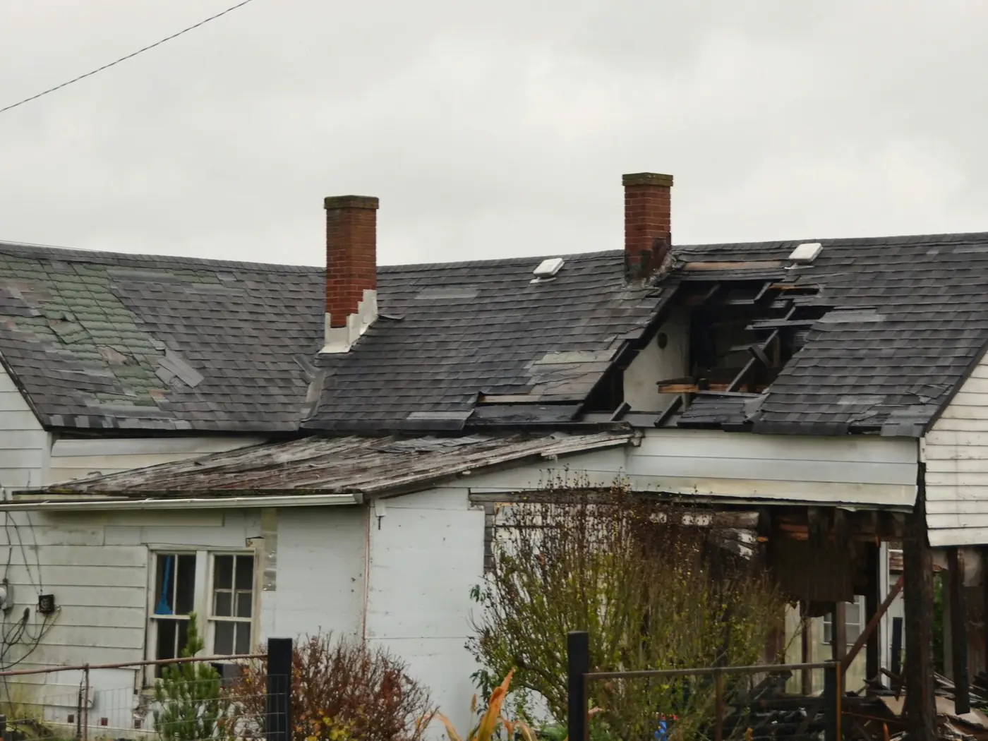



117 inspection pilots ready to quoteAcross 37 states & regions
Local capacity, no commission
Post the inspection and pilots in the area quote it directly. There is no percentage taken from either side, so what you agree is what the work costs — which matters when the same job is being repeated across a book of claims.
Specify once, get comparable files
The value of aerial capture in a claims context comes from consistency: the same elevations, the same altitudes, the same metadata, file after file. Write the capture standard into the post and quotes come back against it rather than against an assumption.
Credentials on the profile
Every published pilot's profile shows what they hold and what they have flown. Insurance limits, certificates and work samples are visible before you engage rather than after — see any pilot's page for what is on file.
Free to post
Posting and receiving quotes costs nothing, and SkyLog takes no commission and adds no markup. You pay the pilot you hire, at the price the two of you agree.
What to specify before the flight
- The elevations required and the ground sample distance for each, so the file is reviewable by someone who was not there.
- Establishing imagery that locates the risk unambiguously.
- Originals delivered unedited with EXIF intact, alongside any annotated set.
- Radiometric thermal files where measurable temperature data is needed — not thermal images, which cannot be re-analysed.
What aerial does not settle
- Establish causation, the age of the covering, the quality of the original installation, or whether damage predates the loss.
- Inspect the deck, or remove the need for a physical inspection where one is warranted.
- Beat a catastrophe surge. Demand concentrates in one region in one week, and every carrier is chasing the same few operators.
- Fly under a Temporary Flight Restriction. A pilot who raises TFRs before you do has worked a CAT before.
Used at the front of the process — triage, documentation, deciding where to send a person — it is efficient. Used as the whole process it invites exactly the disputes it was supposed to prevent.
How it works
Three steps, no account needed to start, and nothing to pay at any point in it.
- 1
Describe the job
The form opens with this page's answers already filled in — service, deliverable, site access. Add the location and anything specific to your site.
- 2
Pilots quote it
Every pilot whose service area and services match is notified. You get itemised quotes back with their credentials, kit and sample work attached.
- 3
Compare and hire
Pick on price, proximity or portfolio, and pay the pilot directly. SkyLog takes no cut and adds no markup to what you agree.
Pilots who list insurance and claims work
Real published profiles. Open any one to see credentials, kit, service area and sample work before you post.
 Stanley T Parker
North Carolina, United States
6 work samples
I’m an FAA Part 107 Certified Commercial Drone Pilot and the owner of True North Aerial Imaging, serving Alexander, Iredell, Catawba, Davie, and Rowan counties. My work blends technical precision with a storyteller’s eye, delivering aerial and ground visuals that help clients see their projects, properties, and events from a higher perspective. Over the years, I’ve flown in a wide range of environments — real estate, construction progress, community events, public‑works projects, and heritage sites. Whether navigating tight spaces, adjusting to fast-changing weather, or coordinating with on‑site teams, I bring a disciplined, checklist-driven workflow to every mission. Safety, clarity, and professionalism are non‑negotiable.
Real estateConstruction chris aldridge
Texas, United States
20 work samples
I’m a commercial drone pilot providing aerial mapping, property line overlays, topographic mapping, construction site data, radiometric thermal inspections, 3D modeling, real estate listing photography and video, property marketing, and professional aerial imagery for businesses and landowners.
Real estateWeddingEventInspectionMapping / surveyFilm / TVConstructionOther- George Benes

Oregon, United States
13 work samples
I've been a Part 107 drone pilot since 2019, working with Pacific Northwest clients on Real estate, construction progress, mapping, telecom inspections, architectural photography and events. I am very flexible and can provide deliverables within 24 - 48 hours. I take great pride in my work and having a photography business, my delivered photos are edited and culled to the best of the best. I worked for 30+ years as a commercial construction Superintendent, managing multi-million dollar construction projects and this experience allows me to be very safety oriented and knowledgeable on construction sites, providing the construction companies with usable deliverables that they can share with all stakeholders involved in their building project.
Real estateEventInspectionMapping / surveyConstruction  Andy Jones
California, United States
12 work samples
FAA Part 107 Certified Remote Pilot based in Southern California, specializing in construction documentation, infrastructure inspections, mapping, orthomosaics, and aerial imagery. With more than two decades of experience managing complex federal construction projects, I understand the importance of accuracy, safety, and delivering actionable data—not just photos. I operate professional DJI Enterprise aircraft, including the DJI Matrice 4E, DJI Matrice 4T, as well as the DJI Air 3S for high-resolution imaging and the DJI Neo 2 for specialized close-range operations. My services include construction progress documentation, roof and property inspections, land development, infrastructure photography, photogrammetry, mapping, and custom aerial imaging. I also conduct search operations for lost pets using aerial search techniques and thermal imaging. Every mission is conducted in compliance with FAA regulations, with careful mission planning, clear communication, and a commitment to delivering high-quality results on schedule. Whether you need a single inspection or recurring project documentation, my goal is to provide reliable aerial data you can confidently use to make decisions.
Real estateEventInspectionMapping / surveyConstructionAgricultureOtherFilm / TVWedding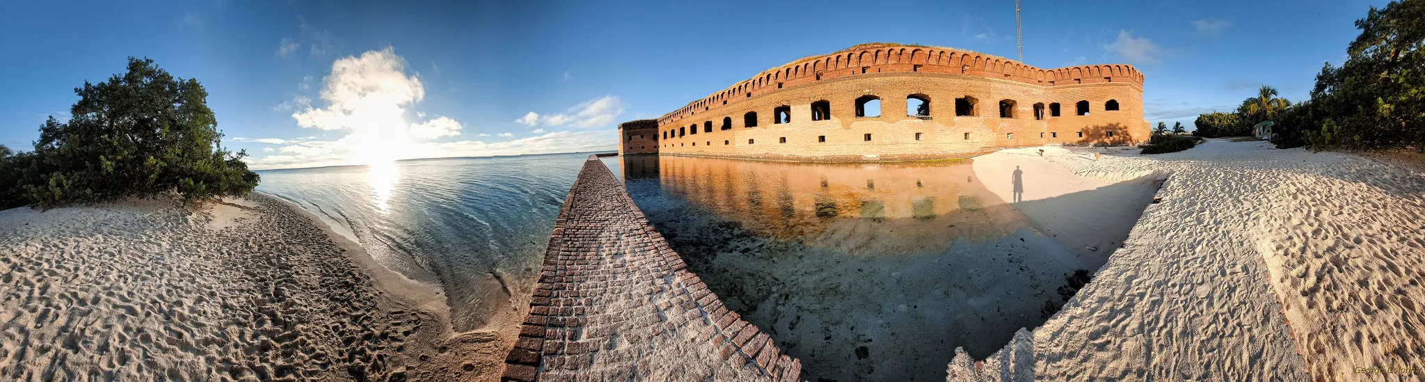 George Colonna
Maryland, United States
12 work samples
Started flying drones for General Dynamics Robotics Systems in 2009 as the subject matter expert and lead test engineer for RCTA and a program called the Soldier Machine Interface. We developed leader/follower code for up-armored autonomous assets a full decade before Google fielded their driverless car "train" and a UI that let soldiers/marines plan missions on the ground and in the air. My job was to ensure the software worked, more importantly, met customer requirements. Working in the field afforded me a wealth of experience regarding process and implementation, but also how to think critically and resolve issues on the fly. If interested in learning more about my credentials, please see my website. My current fleet is primarily DJI and Autel. I have RTK capability and a complete field kit to sustain remote operations for several days.
InspectionMapping / surveyConstructionOtherFilm / TV- K Enagonio

Tennessee, United States
10 work samples
I've been flying since 2015 and specialize in both cinematic filmmaking as well as surveying, construction, sensitive infrastructure capture, and music videos and events.
Film / TVConstructionInspectionEventAgricultureReal estateMapping / surveyOther
Inspection pilots by state
Specify the capture, not just the inspection
The difference between a usable claims file and an unusable one is almost entirely in the specification. State the elevations required and the altitude or ground sample distance for each. Require establishing imagery that locates the risk unambiguously. Require that originals be delivered unedited with EXIF intact, and that any annotated set is delivered alongside the originals rather than instead of them. Say whether you need radiometric thermal files — measurable temperature data — rather than thermal images, because the two are different products and only one can be re-analysed. If the file will be reviewed by someone who was not there, everything they will want to check has to be decided before the flight.
Surge is the real problem, and it is geographic
Ordinary claim volume is served comfortably. A catastrophe is a different problem: demand concentrates in one region, in one week, and every carrier and contractor is competing for the same few operators. Two things help. Post early, because a listing that is live before the surge peaks reaches pilots before their diaries fill. And be explicit about volume — a pilot deciding between a single roof and a fortnight of steady work will take the second, and that is a conversation you can only have if the post says so.
What aerial does not settle
Causation and scope are where roof claims are contested, and neither is a photographic question. Aerial imagery documents the condition of the exterior on a date; it does not establish the age of the covering, the quality of the original installation, or whether damage predates the loss. It cannot inspect the deck, and it does not remove the need for a physical inspection where one is warranted. Used as the front of the process — triage, documentation, deciding where to send a person — it is efficient. Used as the whole process it invites exactly the disputes it was supposed to prevent.
Airspace and authorisations, briefly
Commercial flight requires FAA Part 107. Controlled airspace requires authorisation, which is routine and usually quick but not instant. Catastrophe zones frequently sit under Temporary Flight Restrictions in the days after an event, and those exist to protect low-flying response aircraft. A pilot who raises TFRs before you do is one who has worked a CAT before, and in a surge that is the single most useful thing to screen for.
Common questions
What does an aerial claim inspection cost?
For a single residential roof, generally $150 to $400 depending on complexity and reporting. Across all inspection work quoted on SkyLog to date the range has been $100 to about $1,550 with a $300 median, from 13 quotes — a genuinely small sample spanning every inspection type, so treat it as orientation rather than a rate card. Volume work is normally negotiated per property.
Can we commission a series rather than a single job?
Post it as a series and say so. Pilots price recurring or multi-property work differently from a one-off, and being explicit about volume is what gets you that pricing.
How do we know a pilot is qualified?
Every published profile lists certification, insurance and uploaded work samples, and you can read them before you engage. For claims work it is also worth asking directly about prior loss work and, where thermal is involved, about thermography certification.
Who owns the imagery?
Whatever you agree — and it needs agreeing in writing before the flight, not after. Default positions vary by operator. If the files may end up in litigation, settle ownership, retention period and originals handling in advance.
Does SkyLog take a percentage?
No. Posting is free, quotes come to you directly, and you pay the pilot the amount the two of you agree. We charge pilots a subscription to quote; we take nothing from the job.
Can pilots deploy to a catastrophe zone?
Some travel for CAT work and price it accordingly. Post with the region, the expected volume and the likely duration, and pilots who do this will tell you their availability and mobilisation terms.
Related drone services
Post your claim inspections free
One property or a book of them. Set the capture standard in the post and get quotes from pilots who work claims.
- No commission, ever
- Part 107 certified pilots
- No obligation to hire
Prices and guidance on this page were last reviewed .